While Dan is below trying to determine the model number for the engine thermostat (which has been reading 130 degrees rather than 180 for the past couple of days) I’m on watch as we head up the eastern shore of Lake Superior. Watch is just that, watching – for hazards like floating deadheads, fish-traps, other boats, etc.
There was virtually no wind (2 knots), no waves aside from the occasional light roll. Perfect day for waterskiing, not so much for sailing. The iron genny along with Ted (our autopilot) drives the boat as we coast along at 7+ knots, skirting the shore.
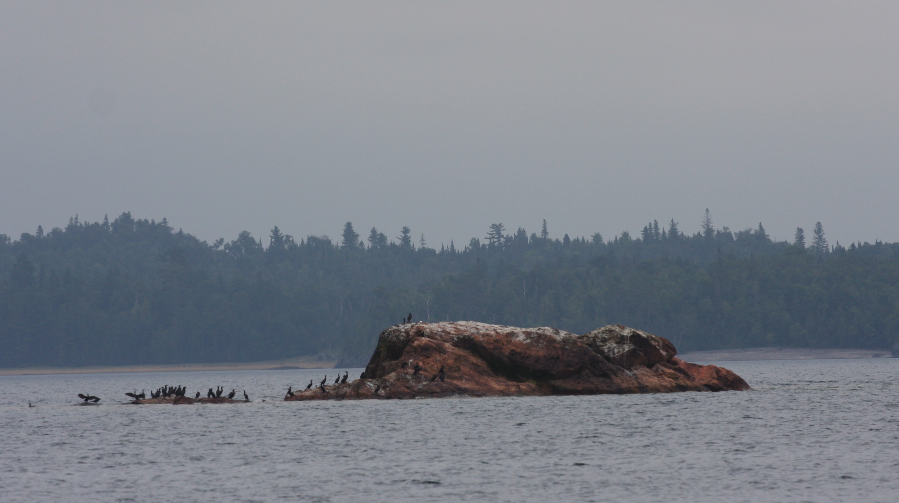
For entertainment, I frequently scout the shoreline with the binoculars. The shore alternates between rocky and beautiful sand beaches. And once in a while I see human life but it’s mostly just seagulls and cormorants perched on a favorite rock.
When I get too complacent, a fisherman leaves a flag marker indicating an underwater fishnet. Best not to hit those as it would totally piss off the fisherman and probably foul the prop. While the nets are supposed to be quite deep, I still watch the flags as I go by expecting the flag to go under the water as I pull it along. Hasn’t happened yet.
Then there is always the unusual that you come across. As we were leaving Batchawana Bay we passed what looked like an icehouse parked on top of a pontoon. It was complete with a flowery shower curtain off the back for outdoor privacy. I have no idea who was at the helm as there was no evidence of anyone steering but we did get a friendly wave from someone sitting on the front deck/porch in a rocker. Unfortunately we were just a bit too far away to get a picture.
Passing Coppermine Rock, I spot a bald eagle sitting on a small rock island accompanied only by a tiny two foot tall pine tree struggling to survive.
As we approached Mamainse Harbor around 2 pm, we briefly discussed ducking in due to the darkening clouds behind us. We opted to keep going. Winds have kicked up to 7 knots directly on our stern, still not enough to warrant the sails at this point.
The temperature drops as the wind jumped to 13 knots – oh and now we’re getting into some fog. Yippee. We were warned about fog on Lake Superior and we are definitely getting first-hand experience on this trip.
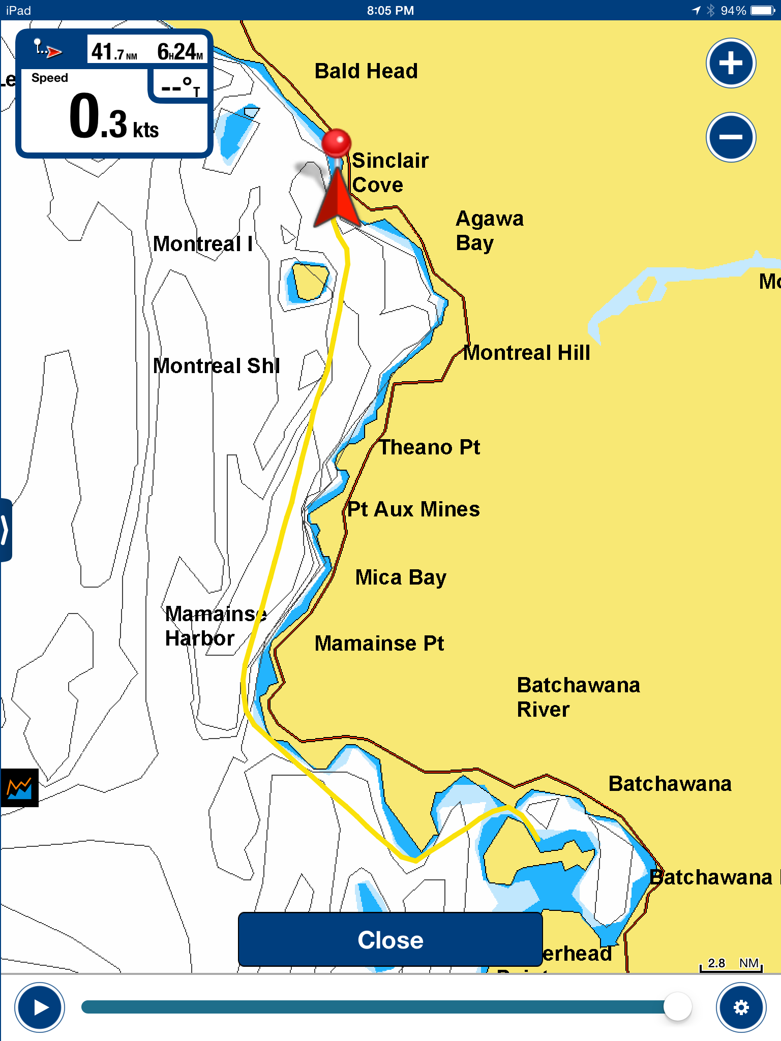
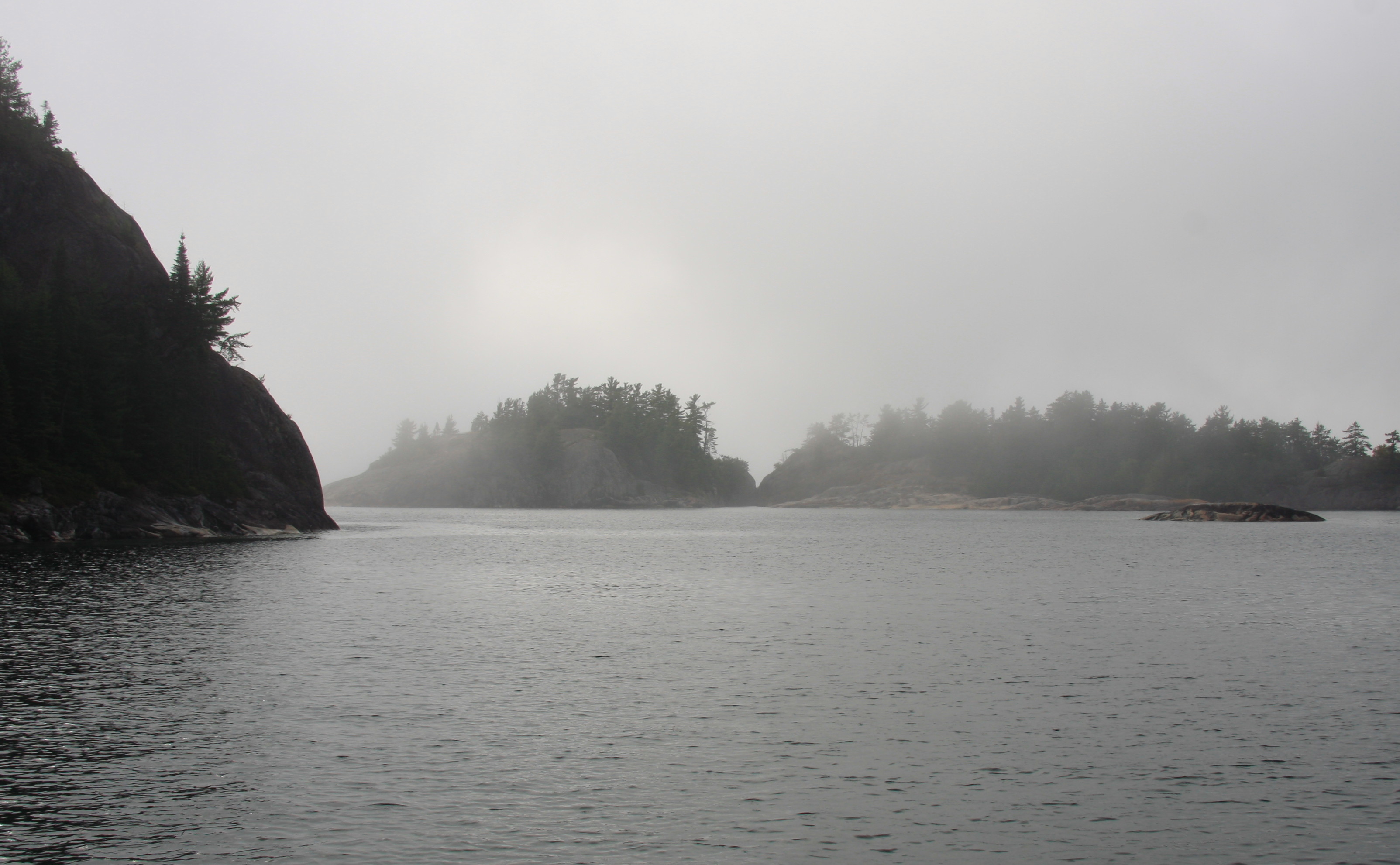
Around 5:30 pm we slowly motored thru the narrow channel into Sinclair Cove and found the anchorage empty save a pair of decrepit fishing boats tied ashore near the boat ramp.
Not long after we dropped anchor some hikers taking selfies on the massive granite edifice that defines the west side of the cove hailed us from the summit. They later set up camp on the shoreline. We invited them to dinner but they declined when they learned that Clams and Linguine was on the menu – one of them hated clams. Their loss.
Around midnight, the wind increased and swells surged into the small bay rocking the boat from side to side. By 3:30am it was so bad that we had to secure things within the boat that we had thought were already secure. Not a good night for sleeping. It calmed down by morning and once we determined that we would stay another night we put out a stern anchor to pull the boat into the angle of the waves rather than the wind. This proved to be tricky since NW winds were funneling water in thru the channel on the west and around island and the rocky islets that defined the northern end of the bay.
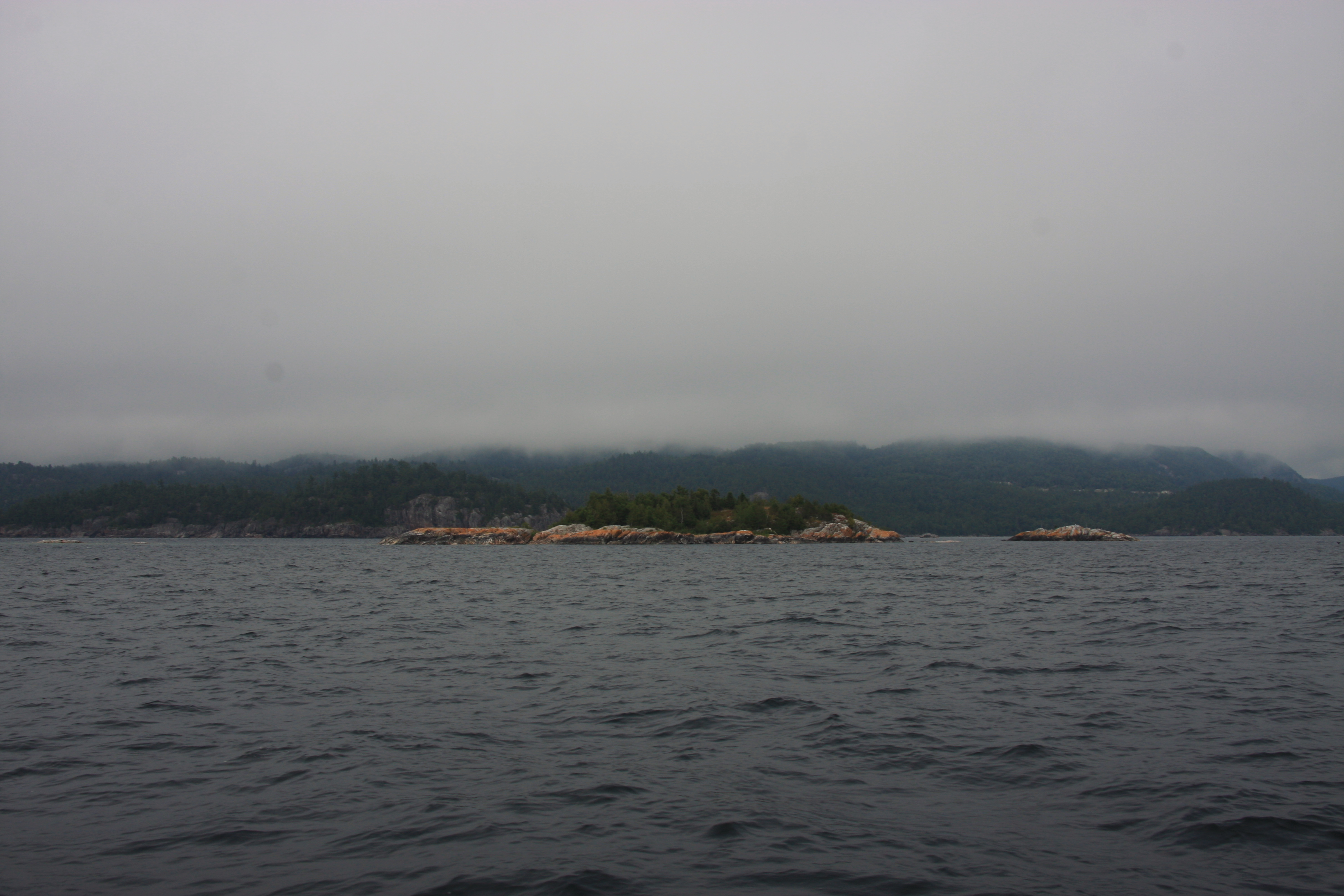
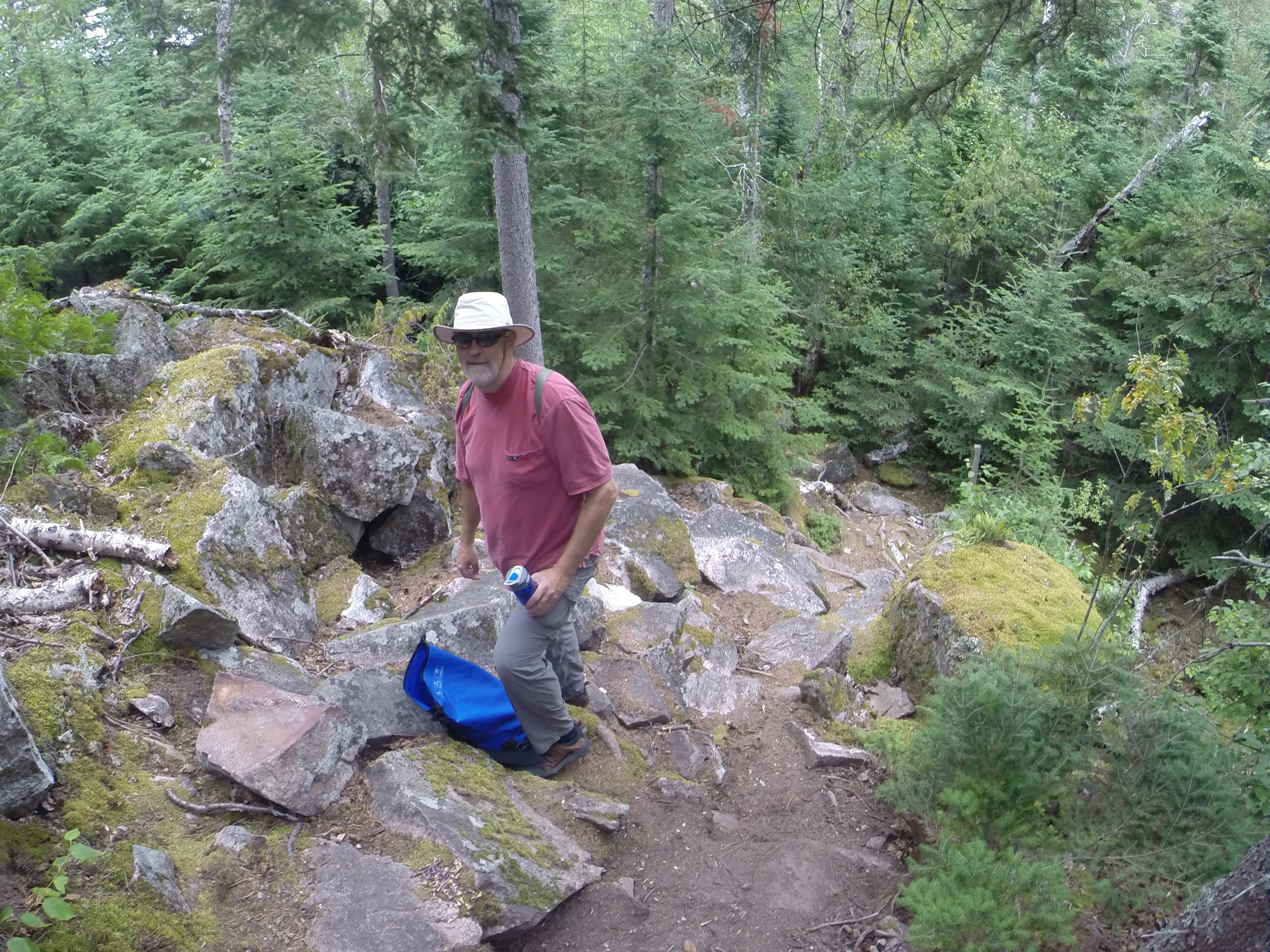
The next day we ventured up the craggy hill for a hike/picnic (and to see if we could get internet access). The hike was more of a climb than a casual stroll. Some places required scrambling over boulders and pulling yourself up with tree roots. Once at the top we discovered a great stash of blueberries along with beautiful views down into the cove, north past the island and islets and west across the majestic and wind-chopped expanse of Lake Superior.

August 10-11 47°22.465N 84°42.198W 745.3 Nautical Miles