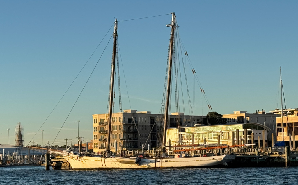
There are many songs about the Carolinas, from James Taylor’s iconic Carolina on my Mind to Dean Martin crooning about Carolina in the Morning. As we transited south through North and South Carolina, we encountered the charm and beauty of the small towns and marshes along the coastline that influenced both songs.
After leaving Elizabeth City, NC and the Great Dismal Swamp we went across Albemarle Sound and through the Alligator River swing bridge into the Alligator River. Both the Albemarle Sound and the Alligator River are wide and susceptible to uncomfortable wave action depending upon the winds.
Both would’ve been perfect to raise a sail or two. Not an option for us as the wind was non-existent on the first day and 18 knots on our nose the second day! I should mention that we did not see a single Alligator!
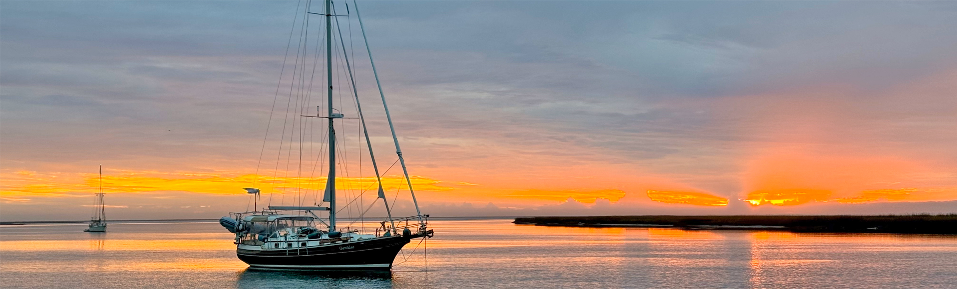
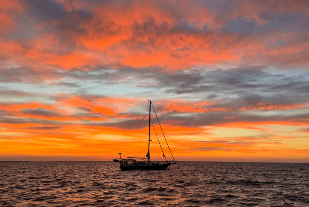
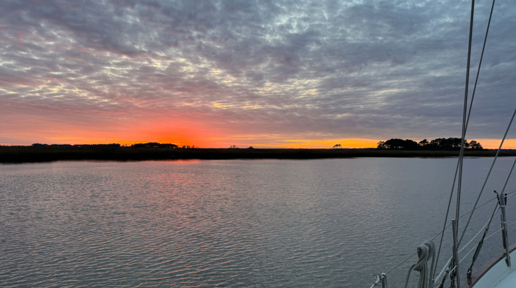
We dropped anchor in an offshoot of the Alligator River called Second Creek after 33 nautical miles. Second Creek treated us to an exquisite sunset and an equally exquisite Carolina sunrise the next morning.
The next day we moved on to Back Landing Bay on the Pungo River where we had strong overnight winds that had our wind generator earning its keep. It takes a lot of wind to generate juice – anything below 15 knots isn’t enough. But when it blows at night, we’re more than happy to have the batteries get some attention when the solar panels are taking a nap.
Thanksgiving – Dowry Creek Marina
We were accessing our options for Thanksgiving when I found Dowry Creek Marina and learned they had a restaurant. They were making a special Thanksgiving Day dinner just for the boaters in the marina. Perfect!
A bonus of being in a marina, is that we would be plugged into shore power. It doesn’t sound like a big deal but when the temperatures were plunging into the low 30s at night, being able to run the 120V onboard heating system was a necessity. They also had washer/dryers so we got caught up on laundry and enjoyed some long, hot showers! The simple things that are taken for granted when living on dirt!
As for Thanksgiving dinner, not as good as Mom’s but enjoyable and it gave us a chance to meet some other boaters in the marina.
Nothin Could be Finer
We left the cozy warmth of the marina the morning after Thanksgiving at 6:30AM and headed south. Our planned trek was long at 48 nautical miles. With the rising sun warming the cockpit, it was a lovely morning. We were only missing Dean Martin singing “nothing could be finer than Carolina in the morning”!
Our staysail helped keep us around 7 knots most of the day, which included going across the wide expanse of Pamlico Sound and the Neuse River. We entered Adams Creek, which feeds down to Beaufort, NC (pronounced bow-fort), and were amazed to see swarms of seabirds flying all around us! I thought we had sailed into Alfred Hitchcock’s movie, The Birds! Clearly there were a lot of fish available for quick snacks! Off the main channel and away from the bird frenzy, we dropped anchor around 2:30PM in a small offshoot of Adams Creek.
Someone was having a party onshore as the music wafted across the water. No need to turn our own music on – if we liked late1970s disco! And the Beat Goes On!
Bridges and more bridges
The Intracoastal Waterway has lots of bridges, many are fixed bridges that have a vertical clearance of 65’ (we need 58′ for our mast to clear) and others that are lift or swing type bridges with closed clearances of 20-35′. The rules for each of these opening bridges are different. Some are on demand; others open on the hour or half-hour. The Onslow Bridge was under construction and was closed Monday through Friday 8am-12pm and 1pm-5pm through December 20th. In other words, transiting through the Onslow was best done on the weekend!
Our buddy boat (Howard and Kerri-Ann on Gaviidae) opted to leave Adams Creek very early and skipped stopping in Beaufort, NC so they could go through the Onslow early Sunday morning. We had to stop in Beaufort or Morehead City to pick up a replacement cartridge for Dan’s auto-inflate life vest. Turns out you’re not supposed to leave life vests for extended periods in sunlight. We didn’t know that and his decided to go “pop” one afternoon while we were at anchor!
As we continued down Adam Creek in Beaufort, we spotted something going across the waterway. It was a deer swimming to the other side! Amazing considering there was a swift current!
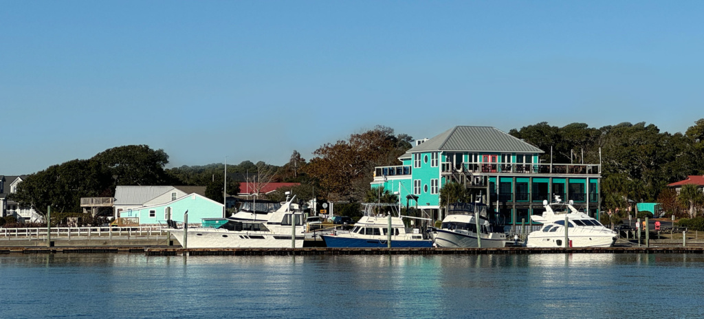
We stopped at Homer Smith Marina in Beaufort. It was a good choice as the facilities were lovely and they had a courtesy car that we could use for our errands. The crew of SV Shanti, whom we met at Thanksgiving, were also there and joined us in running some errands.
While in Beaufort, we had a chance to explore the downtown area – it’s charming with lots of small shops right along the waterfront. Hopefully we can spend a bit more time there on our return trip.
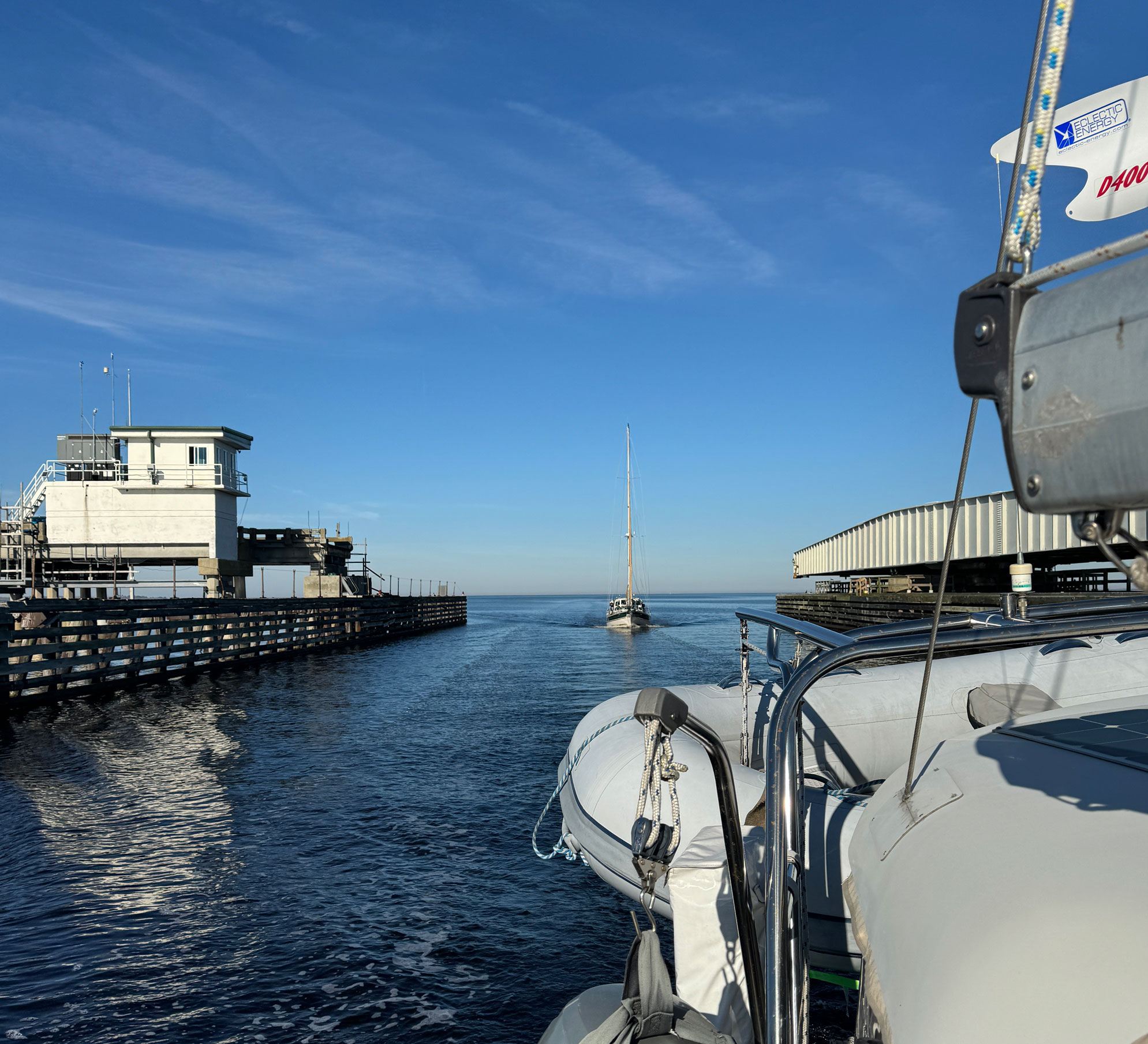
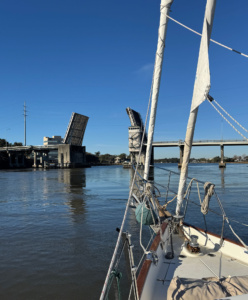
The Onslow Beach Bridge
The Onslow Bridge is located at Intracoastal Waterway (ICW) mile marker 240.7. The ICW counts miles in statute miles (what a car uses) rather than nautical miles which is 1.1508 statute miles. It makes no sense as the entirety is on the water! Oh well.
H&K went through the Onslow early on Sunday. We went through in the afternoon. As we approached, we hailed the bridge operator requesting an opening. He responded that he would open as soon as we got close enough to the bridge. As promised, we heard the ringing bells announcing a pending closure to the road traffic. All good.
As we passed through the opening, the bridge tender hailed us again to tell us we needed to hurry up if we were going to catch the other boat of the same name. We laughed and then he told us not to tell the other boat, but he thought our boat was much prettier! Glad we could entertain the bridge tender!
Hammock Bay
A few miles further was Hammock Bay, which is within the boundaries of Marine Corps Base Camp Lejeune and our target destination. Most of the way there was low marshland and we saw dolphins, egrets, and herons.
We pulled into the bay and did our normal circling routine to check depths and find an appropriate spot to drop anchor. Picture a dog trying to find the perfect spot to lay down – that’s our usual anchoring technique!
We found a spot we liked – not too close to shore (which was off limits), not too close to the channel entrance – you get the idea.
Not long after we dropped the anchor and opened our respective beer/ciders, another boat came in. A boat that we met at Thanksgiving dinner at Dowry Creek. Up to this point, we were the only boat in the anchorage, which was quite large. The boat decided to drop anchor right in front of us and a bit too close. We relayed where our anchor was and how much chain we had deployed. They didn’t much care as they had dropped their anchor in “their” spot that they had used numerous times before.
Around this time some other boats started arriving and we were still in “discussions” with the boat in front of us. With the predicted overnight wind change, we weren’t happy with their location as they would be less than a boat length away. We finally told them that if they weren’t going to move, we would. They said “fine, go ahead and move”. Then we informed them they were now on top of our anchor, so they would have to move so we could move. Head smack!
I’m sure every other boat enjoyed listening in on the ongoing discussions between the two boats, especially since one of them jumped in to say there was plenty of room to the north of where they were anchored.
The other boat moved.
Wrightsfield Beach, NC
By the time we got ready to leave Hammock Bay, the boat launch in the bay was filled with Marines donning wetsuits and launching inflatables getting ready to run water drills. The other recreational boats had all left well before. We hauled anchor for another day running south. Along the way we saw more dolphins and loons, sporting their gray winter colors.
After 37NM, we dropped anchor in Wrightsfield Beach with a beautiful marsh on one side and dense civilization on the other.
What’s that Noise

Within 15 minutes of hauling up our anchor at Wrightsfield Beach the next morning, we heard a strange sound – thawappa, thawappa. A familiar sound but not one you want to hear. After throttling back and shutting down the engine, Dan found our alternator belt shredded.
We dropped anchor immediately as we were in an area with a swift current. Just happened to be right in front of a Coast Guard station! The last time we lost an alternator belt was in 2018 crossing Lake Superior. In that case, everything we needed was found immediately and Dan had the belt replaced in less than 20 minutes.
Once again, all tools and parts were found quickly, and we were back underway in short order. In case you’re wondering, the norm is for us to spend an hour or two just trying to find which cubby hole we stored the part/tool/etc! Boats have an amazing number of tiny hidey holes!
Shallotte, NC
We were still behind H&K and planned on stopping at the place they had stayed the night before. While they had anchored, they mentioned that there were also docks that we might be able to tie up to. After 40NM, we pulled off the ICW and into the channel near the docks, where some very large powerboats were tied up. To our right was a large sandbar with a squadron of pelicans on watch.
As the depths decreased, we reduced our speed. Good thing as we ran aground immediately! Going in reverse got us off the high spot but then we managed to get caught up on another. With a little more forward and back, we got Gaviidae free and headed back towards the channel. This time we went on the other side of the sandbar and dropped anchor with no further issues.
Osprey Marina
The cold front that had been plaguing us since Thanksgiving was not giving way. The days were fine with the sun warming up the cockpit behind our full enclosure. Nights were a bit nippy and the 3AM bathroom run was brutal.
H&K had had enough of the chilly mornings and had stopped at Osprey Marina near Myrtle Beach, SC. We decided to do the same. The marina is tucked back in a channel, almost completely hidden behind moss covered trees. We almost missed it! The dock crew were great, staying past their normal hours to allow us to get diesel and helping us move into our slip.
The marina gives each boater a small gift bag filled with essentials – a can koozie, a key float, various brochures on the area and a local map, and a jar of locally made hot pepper jelly! We will definitely be stopping there on our way north!
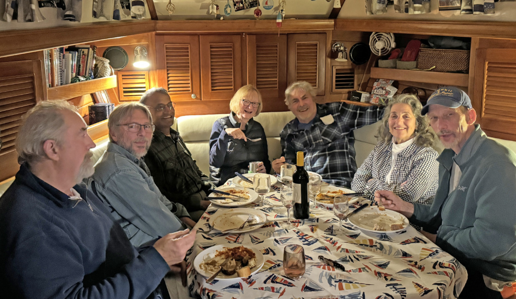
With both Gaviidaes back together, some other boats that we had met along the way also joined us. All of them decided that being plugged in and warm was better than freezing! SV Riparian, another Gozzard, came in along with SV Alutia, a boat that had been Herrington Harbor North when we were there.
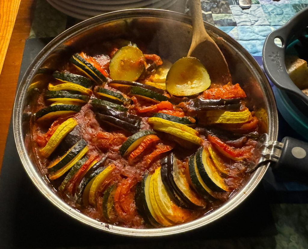
Dinner for eight was aboard Chez Gaviidae with great food (and a new recipe for Ratatouille) and far too much wine!
We ended up staying five nights at Osprey waiting for the temperature to get out of the basement. We picked up a rental car and used it to replenish the stores on board along with a few other errands.
North Santee River
Our route leaving the Osprey Marina took us along the twisting Waccamaw River and through the Estherville Minim Creek Canal. It was a long day but not difficult as there were only two bridges – one with a 65’ clearance and the other was a floating swing bridge that only closed when automobile traffic required it.
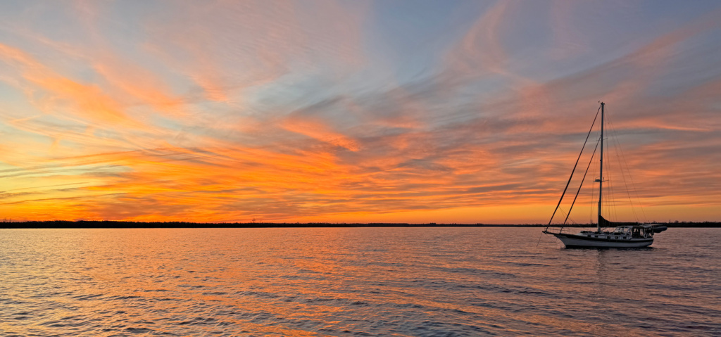
We dropped anchor at 4pm in Minim Creek just off the South Santee River. It was a quiet spot, just two Gaviidaes, some egrets and a heron. Mother Nature treated us with a spectacular sunset – perfect!
Awendau
As we entered the ICW the next morning, we were greeted by a pod of dolphins. I was so fascinated by them that I forget to grab my camera!
The area we were transiting was in the Cape Romain National Wildlife Refuge – all low-lying marshes and wildlife. We saw White Ibis, Snowy Egrets, Great Egrets, and possibly some Roseate Spoonbills. Not entirely positive on the latter as they were large white birds with pink wings – all hanging out in some low trees as we went by.
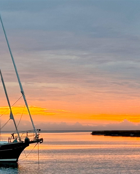
We dropped anchor in the Awendau Inlet just off the Atlantic Ocean. After a peaceful night, we woke to complete calm. The featured photo at the top of the post is Gaviidae anchored at Awendau, taken by Kerri-Ann Green. When we left in the morning, we did our best to be quiet as we weighed anchor and motored past the sleeping pelicans.
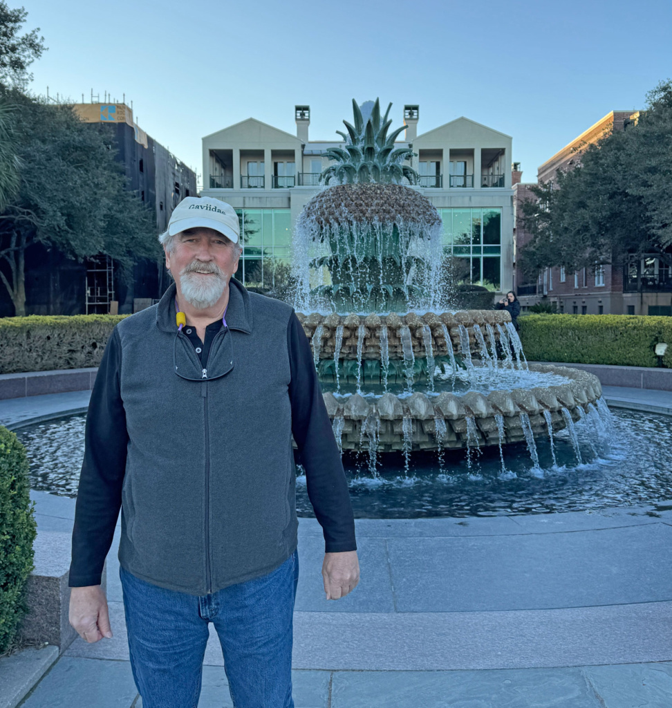
Charleston, SC
We arrived at the Seabreeze Marina in Charleston and were greeted by the Harbormaster who had very explicit instructions guiding us into our slip. This included having us remove our fenders so they would not get hung up on the pelican poles (they call them pilings) as we wiggled our way in. Each step of the way, the Harbormaster would instruct which line he wanted, what speed, etc. He and his deckhands were clearly experienced in wrestling boats into slips with swift currents! Despite the current, our landing was without drama!
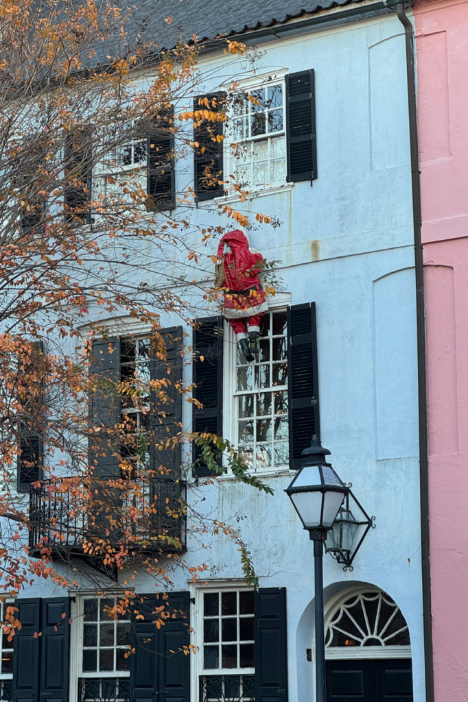
There was lots to do in Charleston – but our first priority was dinner. Fortunately, the marina had a small restaurant next door. Very casual. For $30, you picked out a bucket of beers/ciders from their cooler and ordered your food at the counter. While waiting for dinner, there were lots of nautical-themed gifts and nick-nacks to purchase. With Christmas around the corner, it was an excellent place to look for stocking stuffers!
Exploring Charleston
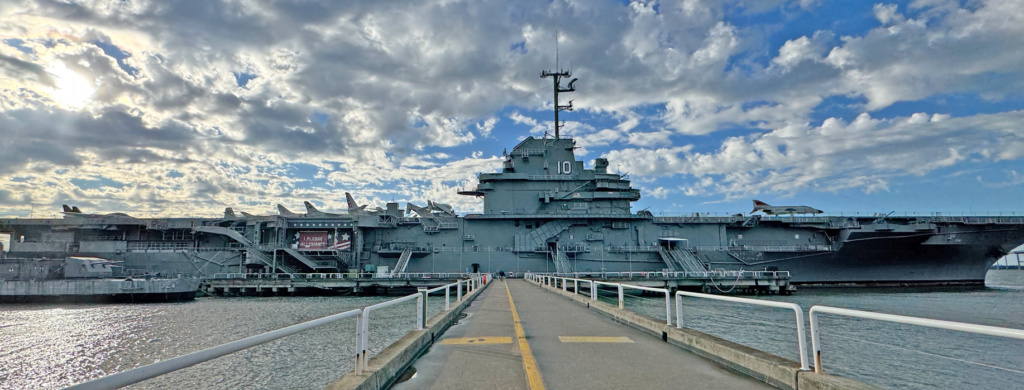
The weather the next day was terrible, with high winds and heavy rain. But we were all (H&K and us) ready to explore so we took an Uber to see the aircraft carrier USS Yorktown at the Patriots Point Naval & Maritime Museum. For safety reasons, the flight deck was closed while we were there. I got close enough to an open section that I was worried I was going to get blown overboard! We spent the afternoon exploring the massive ship and then headed to the Rappahannock Oyster Bar for a fabulous (and expensive) dinner.
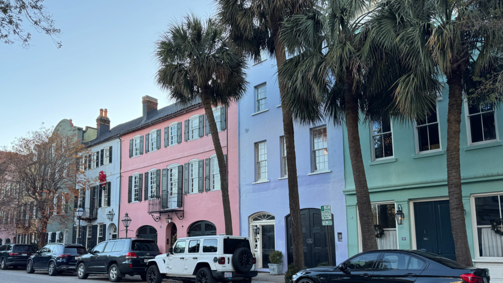
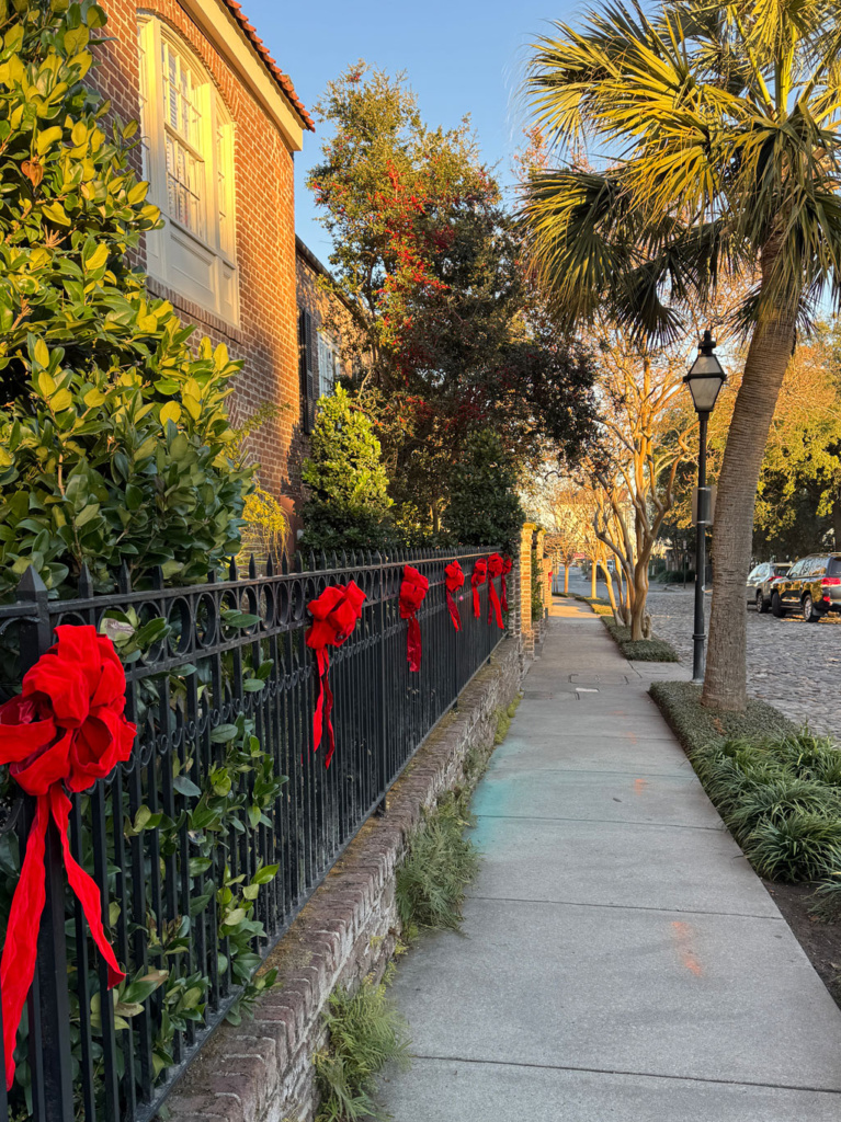
The next day was more exploring the historic side of Charleston – seeing the Rainbow Row with houses painted all shades of pastels and the waterfront area. Charleston is truly a lovely town, with all the amenities of a city but the charm of a small town. No wonder Darius Rucker wrote “You Can have Charleston”, a sweet song of leaving behind a place he loved. By the end of the day our feet and bodies were tired and more than happy to have pizza delivered to the boats!
Friday, the 13th
We left the Seabreeze Marina early to get off the dock during slack tide, a point when the water is calmer between the incoming/outgoing tides. Our boat had been wedged into a spot that required us to go backwards alongside some very shiny, expensive boats. We really didn’t want the currents adding potential drama to our departure especially on Friday the 13th. Our timing was perfect, and Dan maneuvered Gaviidae around the boats with ease.
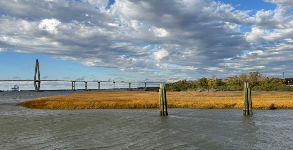
Our early departure meant that we had extra time to kill before we could catch the first opening of the Wapoo Creek Hwy 171 Bridge at 9:30AM. As the incoming tide increased, the pelicans and dolphins were having a feeding frenzy in Charleston Bay. We puttered around watching the pelicans dive into the water every time the dolphins surfaced. Click here to see a YouTube video.
We again found a bridge tender who had a sense of humor, wanting to know if our two boats were twins or #1 and #2. We could hear him laughing as he signed off on the VHF!
Toogoodoo
Sometimes I pick anchorages due to the protection they provide, other times I pick them because I like the name. Toogoodoo was picked for its name. It also happened to be very well-protected and far enough off the ICW that we wouldn’t get waked by passing boats.
Along the way, we saw Herons, various types of Egrets, and lots of Pelicans. There was a very strong current running through the short but narrow Elliot Cut. Without changing our RPMs, we went from 4.5 knots to 8.3 knots – whoo-hoo!
Toogoodoo did not disappoint as an anchorage as the dolphins came in for dinner with the tide change.
The other Beaufort
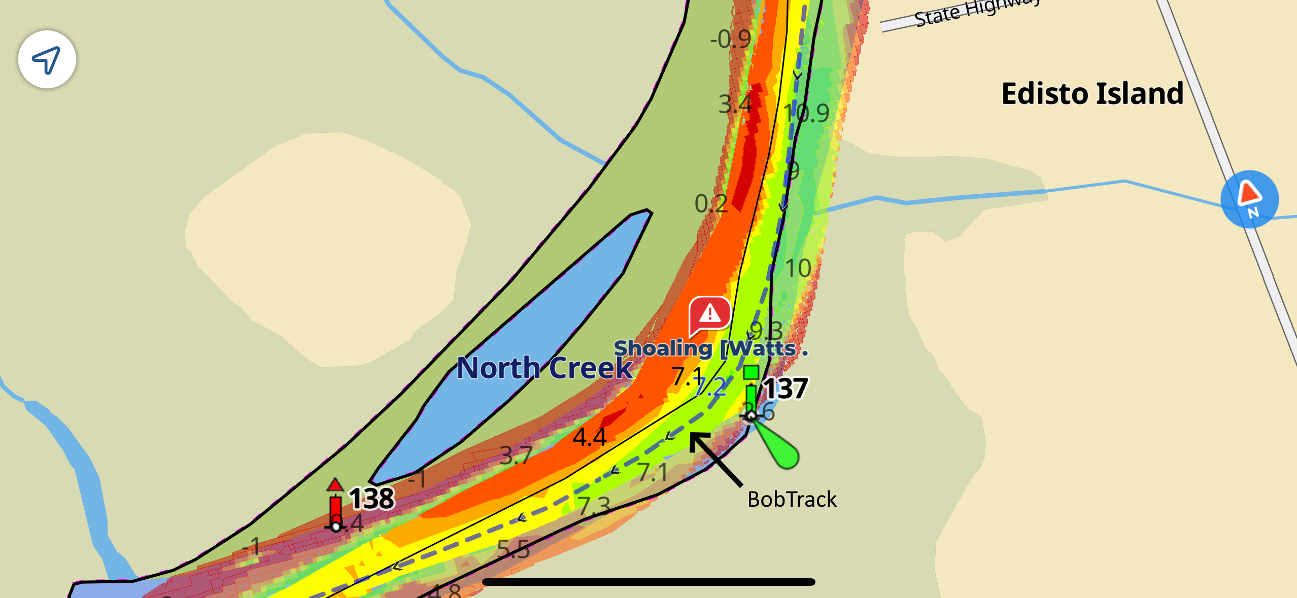
Our run from Toogoodoo to Beaufort, SC required an early start to maximize the tides through some very shoaly areas along the way. We were following the “BobTracks”, which are compiled by numerous boaters who have calibrated their depth finders according to Bob Scherer. They submit their findings as they traverse the Intracoastal Waterway and the rest of us benefit from their shared data. Bob is also the author of the ICW Cruising Guide.
Between tides, winds, and storms, the depth levels in the ICW are constantly changing, especially where an ocean inlet or rivers cross the ICW.
Beaufort was where we really saw the first impact of hurricane damage along the coast. We anchored next to a long marsh berm. On the other side of the berm in shallow water were numerous sailboats up along the shore on their sides in the enclosed bay. Giant lawn ornaments for the homeowners. The small bay was completely enclosed so these boats had to have been pushed over the top of the marsh berm by a storm surge. Have no idea how they will get them removed as they each are at least 40 feet!
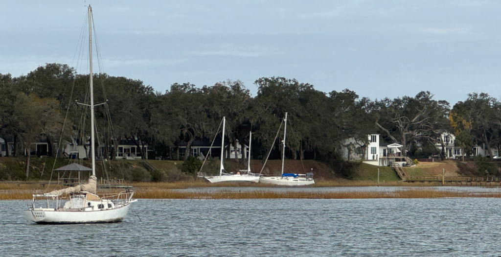
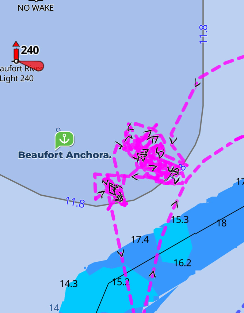
We had hoped to go ashore at Beaufort but the winds and waves were quite sporty. Better to stay put to ensure that we didn’t drag anchor and end up in an unexpected spot! Beaufort will have to be explored on the return trip.
November 25, 2024-December 14, 2024 32°25.563’N 080°41.044’W 2201.8 Nautical Miles