We all have our favorite sources of information. Some are obvious, like charts and weather apps. Some are physical – things you observe. And sometimes information is presented, but not acknowledged until much later!
After our friend Sarah departed Gaviidae, we stayed another two nights in Gloucester, MA. Part of this time was spent researching a variety of possible destinations on the way to Annapolis. And checking various weather apps as each source would give slightly different information.
We had a large stretch of open water to cross and we wanted to have a pleasant journey. It was the pending weather that prompted us to stay another night in Gloucester.
Anchoring 101
Rather than pay for a mooring for our third night in Gloucester, we opted to anchor. Or I should say, we attempted to anchor. We have literally anchored hundreds of times in all sorts of conditions. However, anchoring that afternoon made us look like first-time rookies as we attempted to anchor no less than three times before we bagged it and grabbed another mooring ball.
We dropped the anchor following our usual procedure. Each time the bow of the boat would do an extreme swing to starboard as Dan released chain and I backed up. Our prop walk pulls the stern to port (left) in reverse boat but it is usually not severe enough that I can’t counteract the walk from the helm.
The result of deploying the chain sideways was that we would end up too close to a neighboring boat. So, we would haul the anchor up and try again. After three attempts, we admitted defeat and grabbed a mooring ball.
We learned that another source of information (that we didn’t pay attention to) was the direction and strength of the current in the harbor. Duh!
Massachusetts Bay
We picked a lovely day to cross Massachusetts Bay, sunny and perfect winds. We put up the mainsail so we would have a clear view of any lurking lobster pot buoys. There were numerous boats heading in the same direction, but as we got across the bay, the majority stayed close to the shoreline.
We did not. A local fisherman had told us that our best shot of seeing whales would be to stay close to the Stellwagen Bank, a large shallow area north of Cape Cod Bay. Our offshore course did not produce any whale sightings, but it was such a lovely day, we enjoyed the sail.
As we got into the outer fringe of Cape Cod Bay, we could see white caps off in the distance. Another source of information – visual awareness of surroundings! This time we did not acknowledge this new source of information until it was too late. While the other boats hugging the shore were protected from the sudden increase in the wind, we were not.
The wind, which had been blowing across our beam, was now blowing on our nose at 20+ knots.
Square Waves
Captain Sarah had shared her knowledge of the area and suggested that we go through the Cape Cod Canal rather than going around the outside of Cape Cod and Nantucket Sound. We realized this shortcut would shave a day off our journey south.
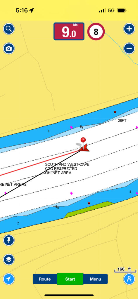
There were numerous warnings about entering the canal when the winds were coming from the west as the wind and wave action could become severe in the channel. The winds we were getting were from the northwest, so I figured we’d be okay. And we were up until the last mile – then we got hit with square waves that would’ve put Lake Erie to shame! On Erie, when the winds kick up, the waves increase but they are very close together – hence the term “square waves”.
On the canal, the square waves are caused by a very swift current running headlong into waves coming from the opposite direction. Each wave is like hitting a brick wall! Very thankful that our boat is built like a tank as we buried the bowsprit repeatedly as we bashed our way through! Our speed over ground dropped from over 8 knots to 3 knots, even while we increased power to the engine!
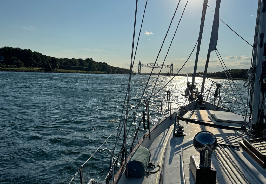
Fortunately, our target anchorage was not far and we gratefully dropped anchor in Onset Bay after 61 nautical miles.
Charming Marion
Marion, Massachusetts is where Sarah keeps her boat and while it was only 11 nautical miles away from Onset – we welcomed the chance to see Sarah again and visit Marion. We picked up a mooring ball from the local yacht club and with laundry in tow, caught a ride on their water taxi to do some laundry.
Sarah found us at the laundromat and proceeded to take us to her favorite provisioning stop before we headed back out to the boat for dinner aboard.
Block Island
Sarah sailed her own boat, Ariels Song, out of the Marion harbor at the same time as us on her way to Newport, RI. Sarah grew up sailing and was part of the 1995 crew on Mighty Mary competing for the America’s Cup. It was fun to watch her as she tweaked her sails for optimum performance and casually walked around the deck of her boat like it was an extension of her feet!
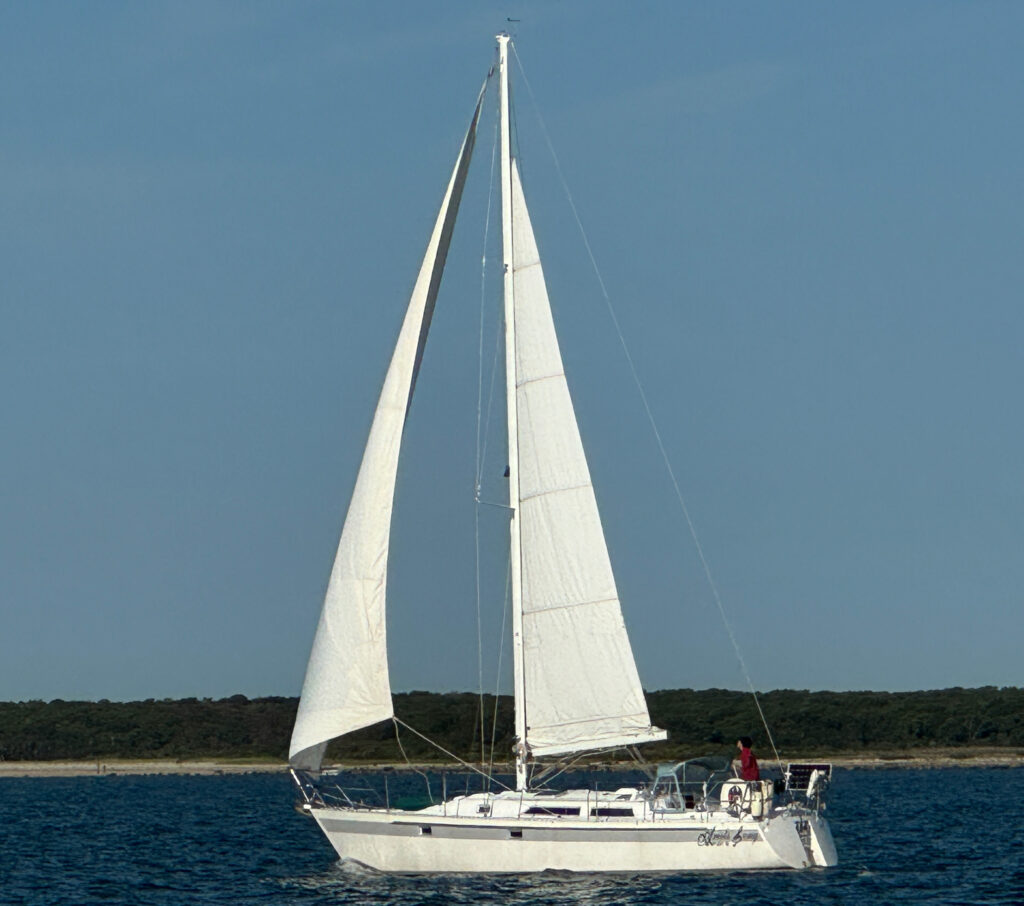
As our track sent us easterly to Block Island, she continued north hugging the coast. We hailed each other to say goodbye as the distances between our boats expanded.
For many who have taken navigation courses, the chartwork always seems to be based around Block Island in the Long Island Sound. We sailed past Block Island in 2017 when we purchased our current boat, but did not stop. We dropped the anchor at 4:30PM but were too tired to venture ashore. We’ve added Block Island to our lengthy list of places we’d like to return to.
Duck Island
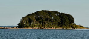
From Block Island we sailed across the Long Island Sound to Duck Island. We had to cross an area known as “The Race”, famous for its strong currents. My calculations using information from the tide and current charts indicated that we should be there between noon and 1:00PM. We hit the target on time, but our speed dropped from 6.5 knots to just over 4 knots. By 2:00PM, we were doing between 7 to 8 knots! Timing is everything!
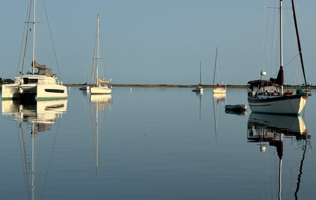
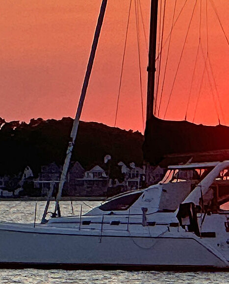
Not long after we dropped anchor, a catamaran named Simply Blessed came into the anchorage. I noticed them behind us most of the way and hailed them to say hi. We learned the Captain was familiar with these waters. They were heading south as well and planned to stop at Port Jefferson, Port Washington and then on to Sandy Hook. The sunset picture above is Simply Blessed at anchor at Duck Island.
We took their shared information and plotted a course for Port Jefferson, NY.
Port Jefferson, NY
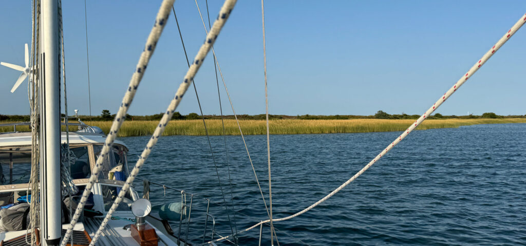
While Simply Blessed headed into the main portion of Port Jefferson, we had found an anchorage that was close to the entrance. The source of this information was Active Captain, and it turned out to be a lovely anchorage along a marsh berm with lots of room and great holding. Behind us was a large mooring field that was fairly empty although a few boaters showed up for the sunset.
Port Washington, NY
The next day we headed out timing our departure between the frequent ferries that run between Bridgeport, CT and Port Jefferson, NY.
We visited Port Washington in 2017 when we were moving our current boat from Rhode Island to the Great Lakes. We spent numerous days there waiting for a replacement water pump for the engine.
After picking up a mooring ball, we caught a ride with the water taxi. We made a point to go back to Louie’s for Manhattans on the dock to celebrate our return to Port Washington hoping that we would not experience any significant boat failures!
Simply Blessed had relayed via VHF that they had some fresh fish, if we wanted some so we buzzed over in our dinghy, met everyone onboard, and took possession of some fresh cod that the captain had caught on a recent fishing trip. Dan baked the fish in a Mediterranean style. It was fabulous!
Manhattan
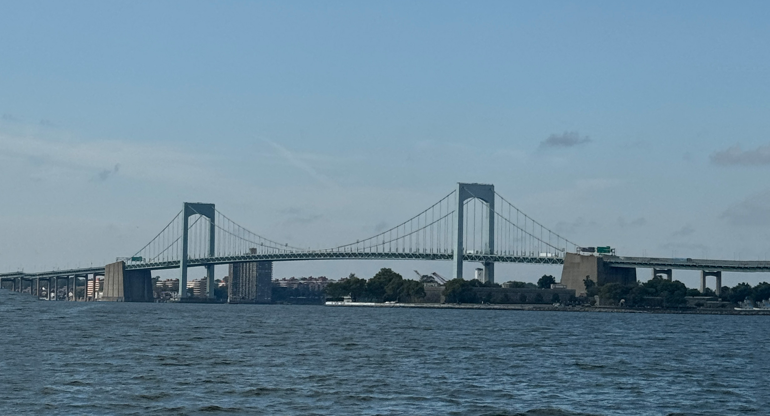
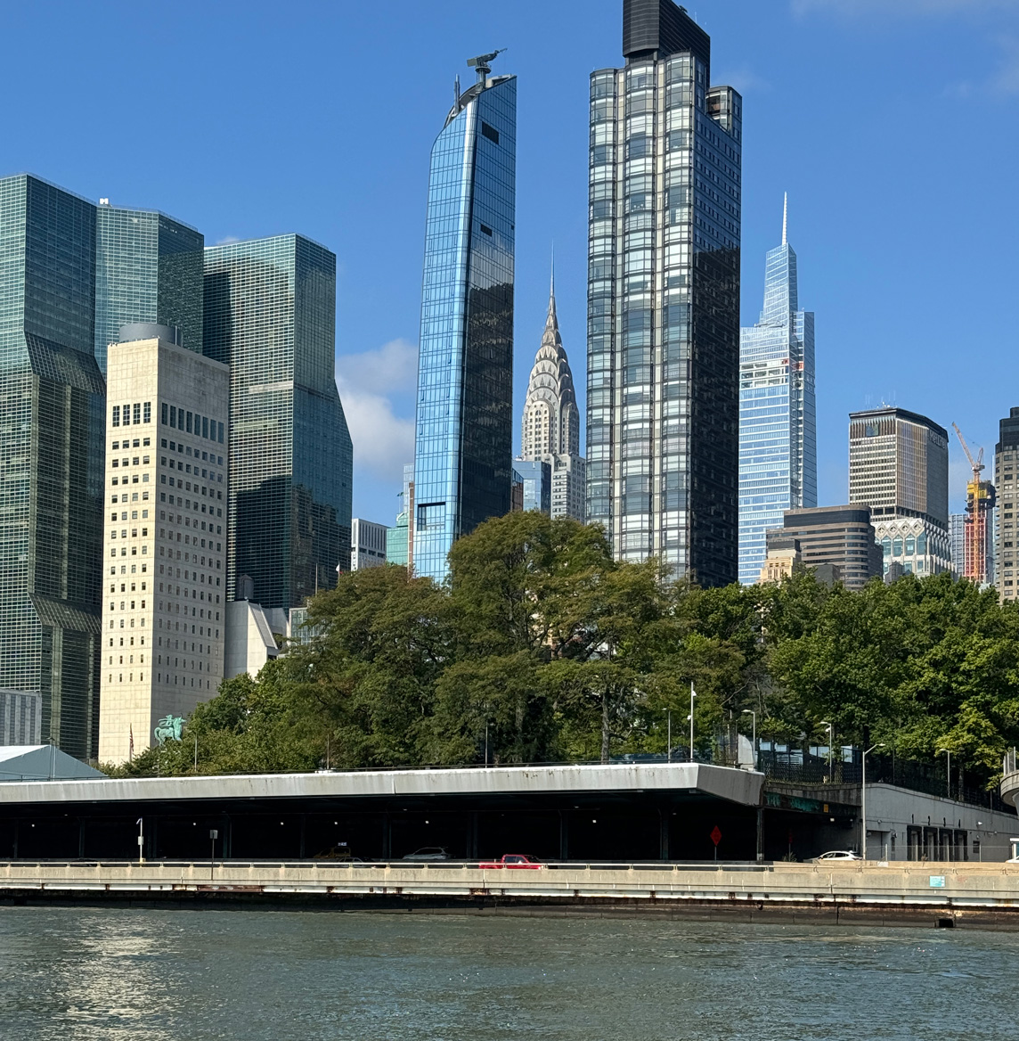
Port Washington is a logical stopping point before heading around Manhattan and through the famous Hell Gate. Hell Gate is on the East River, just past Rikers Island where the Harlem River joins the East River. Timing is everything when tackling this stretch of water as tides, currents and wind have a significant impact. We used all sources of information to determine the best departure time. Tide tables, current estimates, local knowledge, etc. In 2017, the optimal departure time was 2:00AM.
This time, the optimal departure time was far more reasonable at 8:00AM. Plus it was a Sunday, which meant the normal ferry and commercial traffic would be limited. We arrived at Hell Gate at 9:45AM doing just over 8 knots with the current giving us a significant push. Ten minutes later we were doing 11.2 knots as we careened through the turbulent waters at Hell Gate! That speed is significantly higher than the hull speed for the boat, and steering becomes a little bit squirrely!
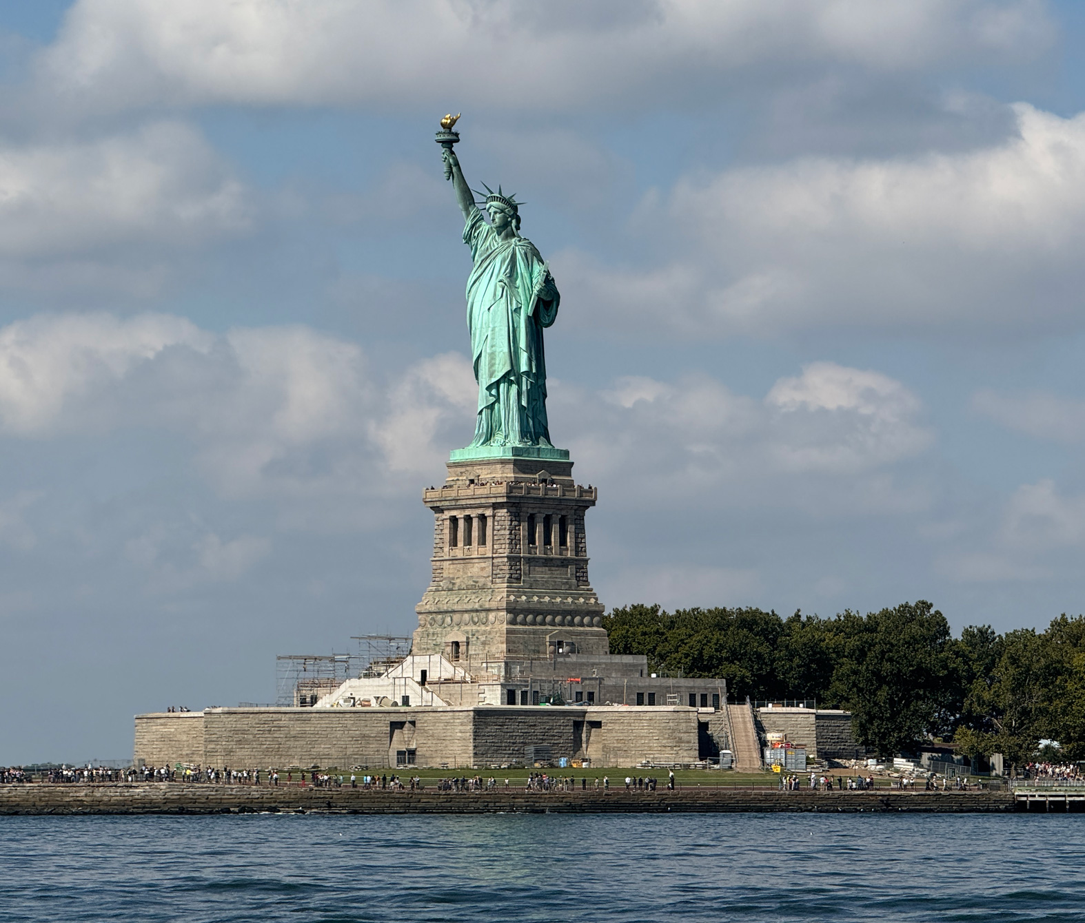
Instead of heading north up the Hudson River as we had in 2017, we continued on going past the Statue of Liberty. She’s far more impressive up close!
Sandy Hook – Atlantic Highlands – Atlantic City
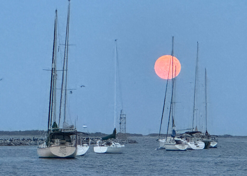
Our destination for the day was Atlantic Highlands, NJ, just inside the large Sandy Hook peninsula. We arrived and dropped anchor in the large area ahead of the mooring field. Simply Blessed was also anchored there. Information from numerous weather apps indicated that heavy weather was in the forecast. After one night at anchor, we moved to a mooring ball for a couple of nights.
During this time, Howard and Kerri-Ann on the “other” Gaviidae had made it to Port Washington, just a mere 37 nautical miles away. As both boats started looking at the longer term forecasts, we realized that we had a small weather window to make the long jump along the open Atlantic Ocean down to Atlantic City, NJ. This 86 nautical mile stretch has no safe inlets to duck into if the weather or sea-state fouls.
Howard initially stated that he was not going to go through Hell Gate and around Manhattan at night. When we shared our experience of our trip in 2017, he decided that it was really the only option to catch the narrow weather window.
At 2:30AM, Howard called indicating they were already approaching our designated meeting spot off of the Sandy Hook peninsula. We scrambled out of bed and were underway in 45 minutes. Even so, Howard and Kerri-Ann circled in the shipping lane for almost an hour waiting for us.
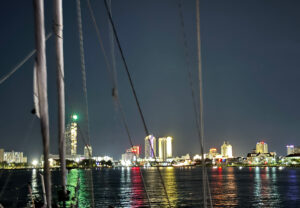
The nighttime cruise along the shore was not pleasant and not one we would like to repeat. The wind and waves were at odds creating an uncomfortable corkscrew ride. We arrived in Atlantic City at 5:30PM after 14 hours underway. Both Gaviidaes gratefully dropped anchors under the casino lights, too tired to even think about going ashore.
Cape May, NJ
The weather forecast indicated that we needed to continue, even though we all desperately wanted to sleep in. The trek from Atlantic City to Cape May was also outside along the Atlantic Ocean. Fortunately, it was a mere 38 nautical miles.
We dropped anchor next to the Coast Guard station. This also happened to be along a very busy waterway with big sport fishing boats kicking up impressive waves without regard to the boats at anchor.
Bug Central
When both Gaviidaes are sailing together, we tend to share routes rather than both doing separate routing. Of course, we each review them to ensure that we have first-hand knowledge of any hazards or warnings.
Our route around Cape May and into the Delaware Bay was done by Howard and Kerri-Ann. There were not a lot of anchorage choices, but they found one they thought would work. After reading the reviews in Active Captain, they named the route Bug Central and shared it with us. Can’t say we were too excited about the selection, based exclusively on the name!
As it turned out, it was not buggy. But it was exposed in a large, shallow bay that kept us way out from shore. It was also susceptible to the wakes from large, commercial ships heading up the Delaware River.
Chesapeake City
One of the many tidbits of information that Sarah shared with us were places to stop along the way south. Our next stop was one she recommended as an anchorage in a small cove at Chesapeake City along the Chesapeake-Delaware Canal (C&D Canal).
We turned into the cove at Chesapeake City to find a bar/restaurant that occupied one-third of the area. Since it was a Sunday afternoon and sunny, the bar and docks were packed with noisy partiers. A trawler had ducked in just ahead of us from the other direction and we were concerned that there wouldn’t be enough room for both our boats.
Not to worry – Gaviidae 37 bee-lined for the far end and dropped anchor before the trawler had time to assess the situation. There was another power boat anchored in the small bay, but they relayed that they would be leaving shortly. With that knowledge, we dropped anchor relatively close to them knowing that we didn’t have to worry about swinging into them overnight.
As for the trawler? They circled around and then left – that should teach them not to cut in front of a couple of sailboats with threatening bowsprits!
By 6:00PM, the crowds of boaters started departing as the temperatures dropped with the sun. Howard dropped his dinghy, and we went ashore for some beverages and dinner. With full tummies, we slept like babies in the dead calm of the cove.
Going it Alone
Howard and Kerri-Ann had a less restrictive timeline than we did. We left them at Chesapeake City and continued south to an anchorage near Gibson Island in Chesapeake Bay. Our friends on SV Vitae had anchored there but we found a spot further back in Eagle Cove across from a horse farm.
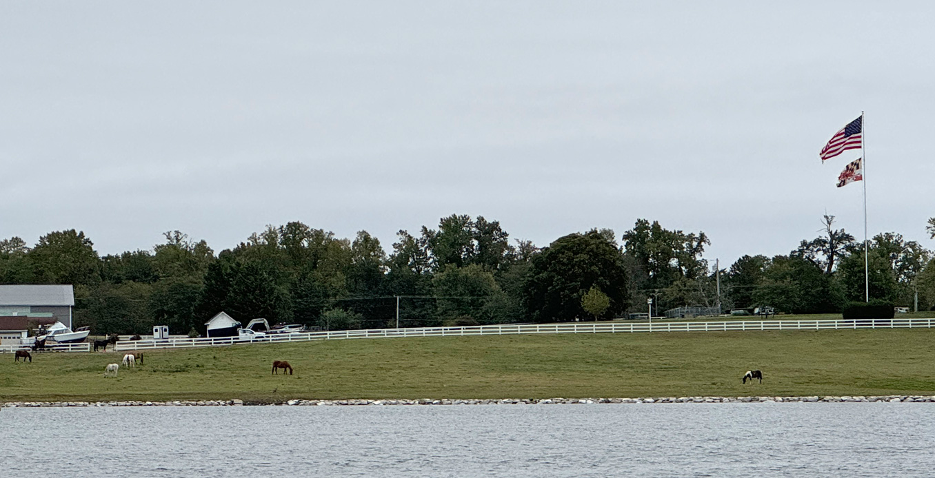
It was a lovely spot, and we shared the information with H&K so they could stop on their way south.
Expensive!
We had been hearing some noises from our engine that concerned us. Dan had solved the issue of the excessive oil burning but we still wanted someone with expertise to look at it. We made arrangements to stop at Bert Jabin’s boat yard in Annapolis. We arrived early in the morning, hoping the diesel specialist would be able to see us that day.
For the first time in our boating experience, the dock hands actually used a rolling tape measure to confirm the length of our boat. We had estimated 50 feet. Nope, with the dinghy hanging on the back end, Gaviidae actually measures out at 53 feet! Times $3.75 a foot = a very expensive night.
And that was without electricity – the tides were so high that the marina was having to shut the power off to the docks overnight!
Not wanting to spend another $200 at a dock without power, we called the diesel expert and learned that he could actually do the work at the marina where we would be leaving the boat for a month.
With that knowledge, we hastily exited the boat yard and went on our merry way.
Quiet Waters
We found another charming anchorage 12 nautical miles south off of a park named Quiet Waters. There were homes along one side but the park side was all trees. We shared the anchorage with seven other boats, some who had picked up mooring balls provided by the park.
We were now ahead of schedule by a day and happily stayed put for two nights.
Tracys Landing, MD – Herrington Harbour North
With our planned trip to Minnesota and California, we had made arrangements to leave Gaviidae at Herrington Harbour North in Tracys Landing. Insurance restrictions prevented us from going south of Cape Hatteras, NC before November 1st. Needing to return to Minnesota for doctor appointments, we opted to leave the boat for a month at a highly recommended marina. The marina runs a very efficient operation with dockhands who greeted us at the dock for a pumpout and assisted us in docking.
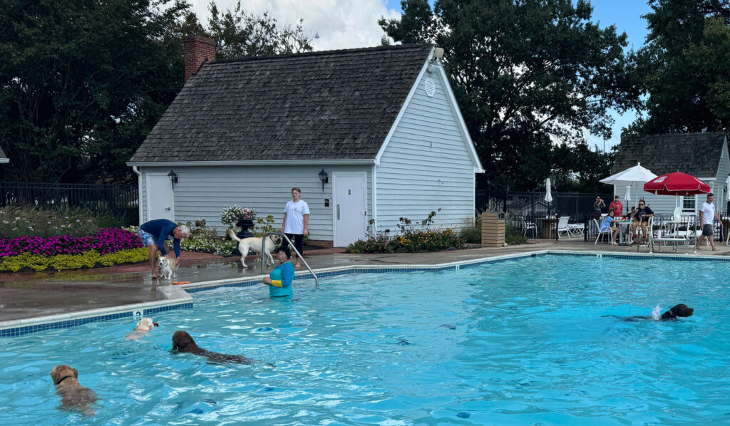
Since it was the end of the pool season, the marina opened up their swimming pool for an afternoon of dog play – the pool was going to be drained the next day as a charity event for a local shelter. There were lots of dogs, all having a grand time racing around and jumping in and out of the water!
We spent the weekend prepping the boat for haulout. This included removing the sails, storing the dinghy onshore in a rack, and opening the engine compartment so the diesel expert could do his work. Our excess food was pawned off on a liveaboard, who happily took fish, steaks and veggies. By the time we were done, the interior of Gaviidae was packed with cushions and sails.
On Time?
We were so organized that we got off the boat ahead of schedule and were waiting when the Uber driver picked us up for drive to the Baltimore airport. Our norm is to be doing last minute tasks right till the very end. We kept thinking that we had forgotten something – it’s just not our style to be that organized!
And the very efficient marina sent us a note that Gaviidae was hauled out of the water that afternoon and resting securely on stands, waiting for our return.
September 9 – September 30, 2024 38°46.317’N 076°33.768’W 1559.6 Nautical Miles

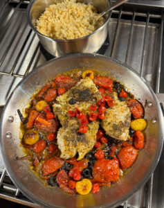
Love the narrative and the cod looks great!
Test—hoping to communicate with you via email…
Hi Matthew – Sent you an email!