The trek to Old Dave’s Harbour on Otter Island covered almost 57 nautical miles during which time we actually got to sail for a couple of hours with no engine running. I should qualify that as BVI sailing, which means sailing with jib or genoa only depending upon what you have. We had the genoa flying and were able to maintain over 6 knots until the winds and waves got squirrely and forced us to go back to the iron genny. Ah, at least it was a couple of hours of beautiful silence.
On the Rocks
Our entry into Old Dave’s Harbour was rocky. I’ll just say there were some “communication” issues and leave it at that. We ended up wedged against boulders on the port shoal. As we were attempting to kedge off with our big CQR anchor, the seas that drove us onto the rocks built enough to free us. Lucky that.
After wiggling our way in through the remaining shoals, we dropped a hook and tied to a tree off the stern. As the winds continued to build, Dan put out a second anchor to ensure that we did not get blown onto the shore which was only 15’ away.
Up to this point our impression of the weather reporting system was that they would put out a strong wind warning anytime the wind kicked up over 15 knots – which for our boat is just a walk in the park. This time there really were strong winds and we were grateful to be hunkered down in a safe harbor.
Full rainbow at Old Dave’s Harbour
The weather dictated that we spend a number of days at this anchorage; we did a fair amount of exploring. On the shore there is the abandoned Assistant Lighthouse keeper’s house which has a sign that it is for emergency use only. The front door would only open a couple of inches before it jammed on the buckling floor. The backdoor was accessible but Dan felt the floor spring when he stepped in and decided he really didn’t want to explore the basement.
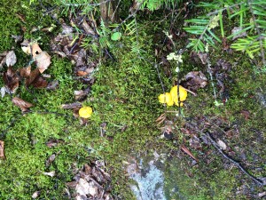
Mushrooms Everywhere
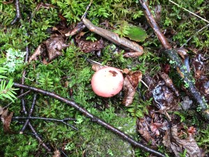
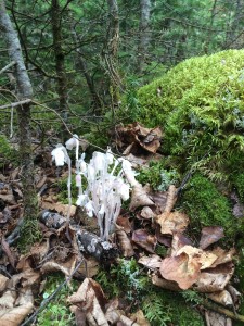
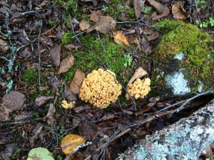
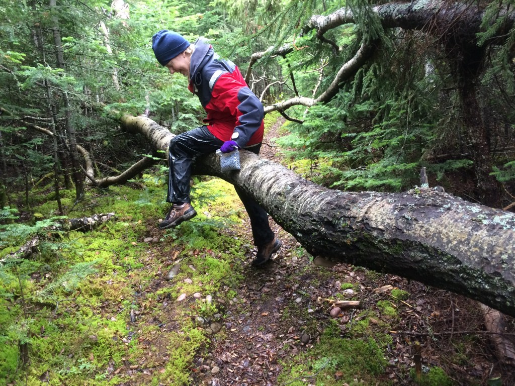
We hiked up the trail which has not been maintained in some time and required climbing over and under fallen trees. There were an amazing number of unusual mushrooms and other plants along the way – perhaps they were just ordinary mushrooms to an experienced eye but I thought the variety was pretty impressive. If anyone wants to tell me what some of them are, comments would be appreciated.
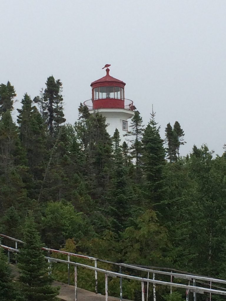
The Lighthouse
The trail took us across the west end of Otter Island to the lighthouse which is still operational but automatic. The entire upper area is large rocks and boulders. Boardwalks connect the lighthouse keeper’s house (which was also signed for emergency use only) to the lighthouse and down to a helicopter pad.
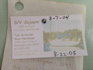
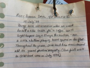
The lighthouse keeper’s house was in far better shape than the assistant’s house. We found numerous boat cards including some from sailing friends who had visited in years past. There was also a log book but its pages were full – hopefully someone will have a spare notebook that they can leave behind for future visitors.
Big Waves
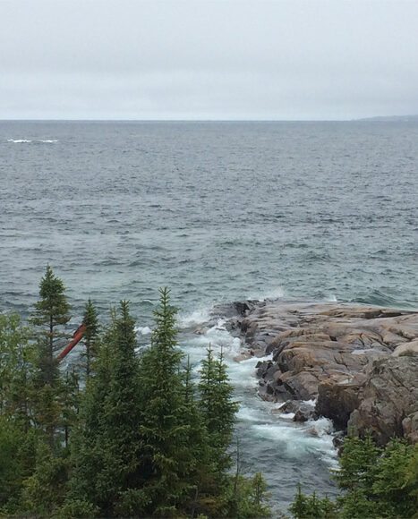
The waves crashing along the shore were amazing with some coming as high as the helicopter landing pad down from the lighthouse. Ocean Superior was showing her awesome strength and beauty.
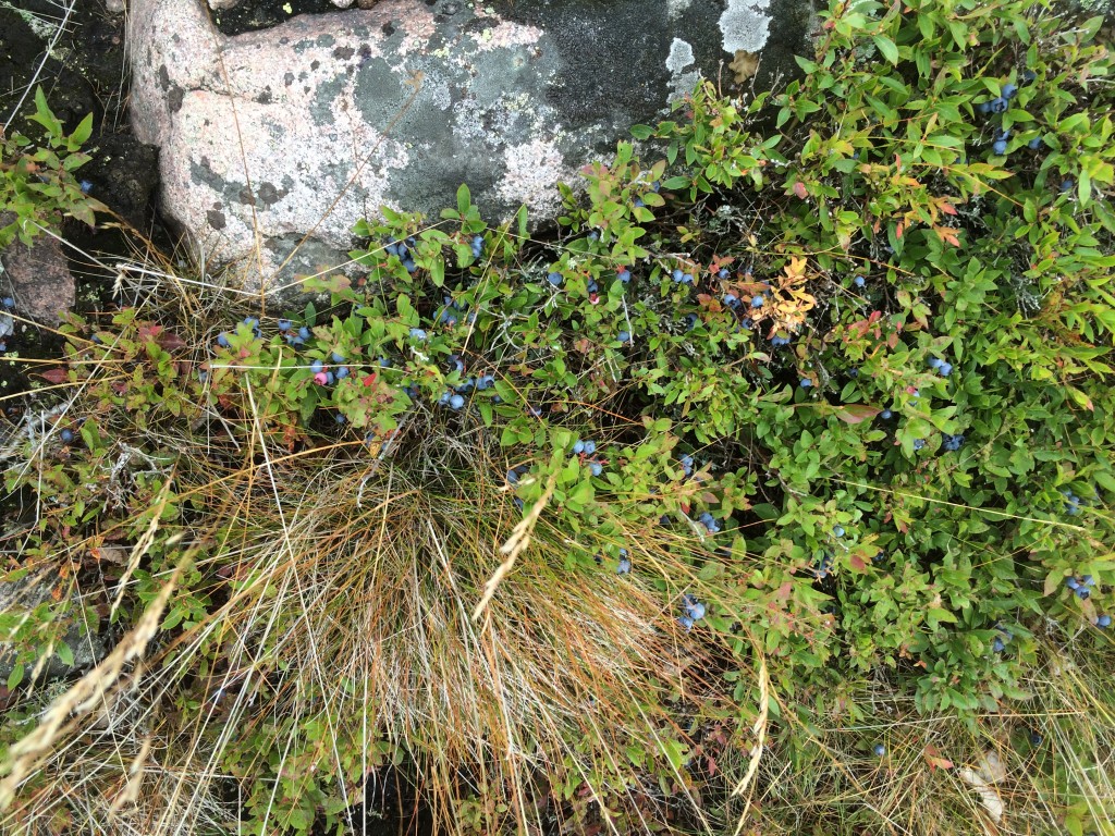
Blueberries Galore
We had picked numerous blueberries in the North Channel and Superior’s east shore but Otter Island was a blueberry paradise with berries that were twice the size that we had found previously. And loaded – you could grab a cluster of 6 or 7 berries at a time – all perfect. Yum! It was hard to leave so many behind but the increasing drizzle was making the pathway slick for the downhill trek back to the boat.
Exit Strategy
We started the next day by taking the dinghy through the entry channel and using our dinghy anchor to find the best path back into the main channel. With extensive shoals on boat sides we needed to make sure we had no more close encounters with large rocks. Marking a track that maintained 8’ of water eased my concern for our pending exit.
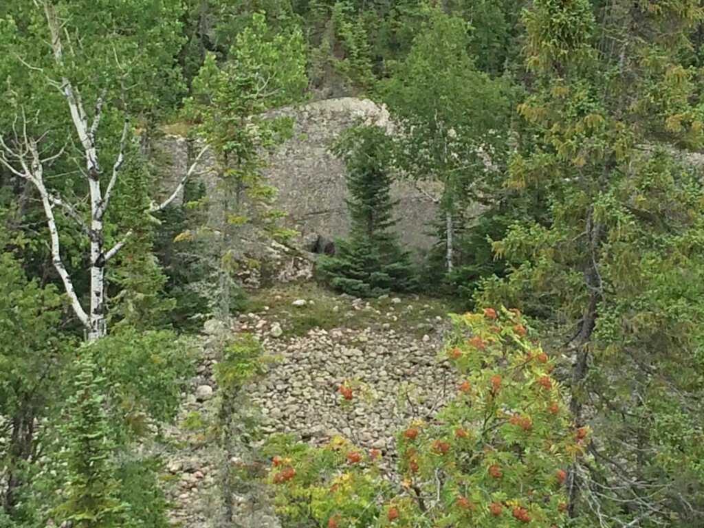
Pukaskwa Pits
We returned to shore and tried to find a path to the Pukaskwa Pits that were supposed to be located some distance from the assistant lighthouse keeper’s house. We scrambled up crevices, over boulders, and through mossy patches that would absorb your footprints like an opulent carpet. Dan was determined to find the pits and after several hours of bushwhacking our way through we came to the top of a ridge where we could see the impressive pit below. The Pits are areas of small rocks that cover an area – no one knows why they exist but they are clearly man-made.
We continued for another hour to try to find a path down without success. With the sun coming out and the winds/waves dropping, it was time to make a run up the coast to our next destination.
August 22 – August 26 (left at 5pm) 48°06.810’N 86°03.748’W 860 Nautical Miles

