Sailors live by the weather, and more importantly, try to avoid deadlines at all cost. However, we did have a deadline – a flight to Minnesota from Baltimore for a pet sit. Our flight was booked for September 30th and it was now August 25th. Five weeks to cover just over 1000NM across some big water.
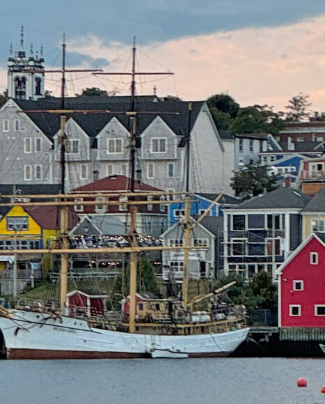
Our direction was generally south with a little bit of west tossed in for good measure. We departed Shining Waters Marina in St. Margarets Bay in Nova Scotia on the 25th and headed for Lunenberg, famous for its sailing traditions. The other Gaviidae (Howard & Kerri-Ann) had departed a couple of days before and was comfortably tied to a dock exploring everything Lunenberg had to offer. We opted to drop anchor across the bay and watch the deer wander the golf course next to us.
Whale!
Our next destination was an anchorage called Carter’s Beach. Along the way we were visited by a very large whale that came out of the water just off our port beam and then dove under us. After hearing all the reports of whales attacking boats off the coast of Spain, I had a moment of panic. Then I remembered that we were in Nova Scotia, and this was not an Orca! By the shape and location of its fin, we identified the whale as a Minke. They range in size from 20-40 feet and tend to hang out in waters around 70-80 feet deep off the coast of Nova Scotia. Our guess is that this particular whale was in the 30-40 foot range. Close encounters with big water critters – so awesome!
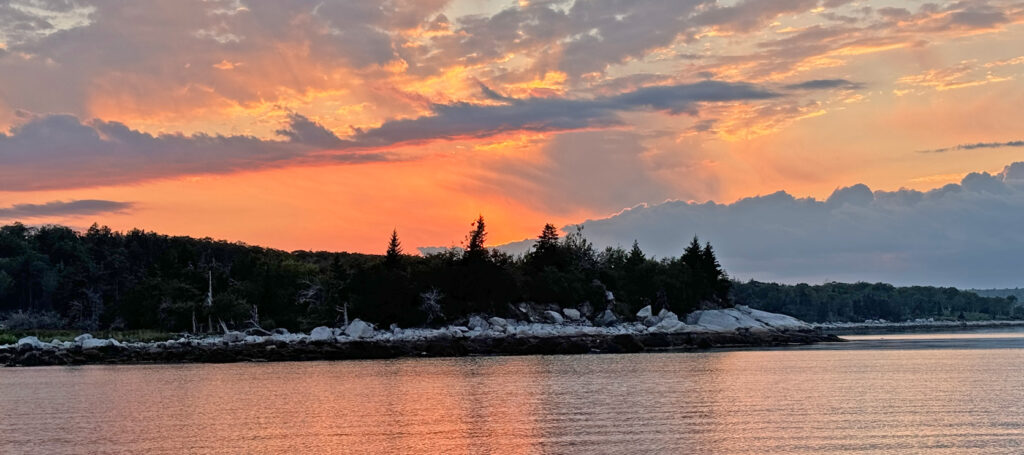
Carter’s Beach was a lovely beach, at least from our view. Lots of people and dogs strolling along the sand beaches on either side of a rocky point. But we were both tired and were content watching the sunset with adult beverages in hand.
Cape Negro
We left the next day for Cape Negro with the other Gaviidae not far behind us. We’ve been told the name of the cape and bay will be changed but it has not happened yet. Research into the name told us it was named by Spanish explorers after some very large black rocks found along the shore. Negro is Spanish for black. They are still there – the rocks that is.
Hoping we would see more whales or other critters; we were disappointed when we woke up to thick fog at Carter’s Beach. The fog stayed with us the entire day. Along the way we encountered a large red bell buoy that did not show on the charts. We hailed H&K to warn them about the buoy as it was closer to the track they were on. Close enough that Howard was able to read the buoy number and reported it to the Canadian Coast Guard. Apparently, it had drifted 2NM off course.
We dropped anchor in pea soup fog, not really knowing how close we were to shore. The smarter Gaviidae stayed behind and waited until we were settled. The sun popped out just as they were coming in, giving them a visual advantage when they selected the spot to drop their anchor.
Negro Bay
The weather forecast for the next day was for big winds and waves. Not the time to be heading out along the eastern shore of Nova Scotia with no protection from the waves rolling in across the Atlantic. In fact, our anchorage at Cape Negro was also not suitably protected. Both Gaviidaes headed further into Negro Bay and dropped anchor in an area that was probably not used frequently as an anchorage. It would normally be exposed to the prevailing winds, but the overnight winds were expected from the northwest and for that direction, we were both in the perfect spot.
The Oil-guzzling Engine
During the time in July when we headed to Cape Breton, our engine developed a taste for oil. It liked to start each morning with 1/2 litre of fresh oil just as Dan required orange juice for breakfast. We had a diesel mechanic look at the engine while we were in Cape Breton and had a mechanic do a compression test at Shining Waters. All test results were perfect, and no one had a good explanation as to why our diesel had developed this sudden fondness for oil.
With assurances from both mechanics that the oil consumption—which had been preceded by a persistent clattering at higher engine RPMs—needed some watching but no immediate engine work, we continued our journey with an extra supply of oil on hand.
Sunrise Start
We departed Negro Harbour at first light (0645) and headed south around Cape Sable – the most southern tip of Nova Scotia. Cape Sable was originally named Beusablom by Portuguese explorers, commemorating the sandy bay. This was later converted to Cap de Sable (Sandy Cape) by a French governor. There were a couple of documented routes, with one being considerably more offshore. We opted for more inshore route which required specific timing to avoid opposing currents after the turn north along the Nova Scotia coast.
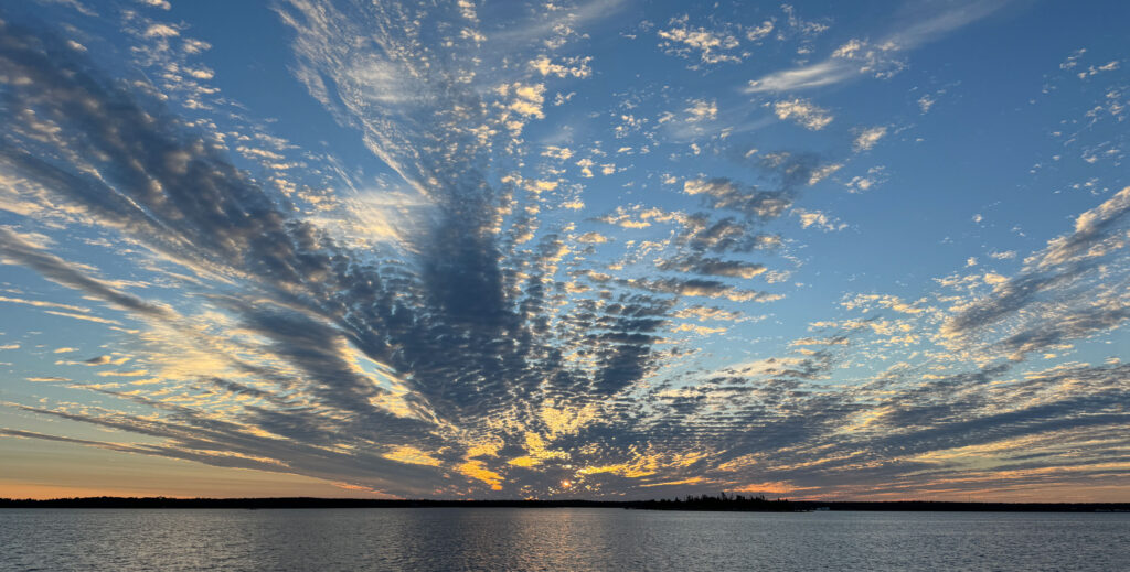
We actually had to slow down as we approached Cape Sable as our speed over ground (SOG) was faster than we had estimated. We had been sailing with our big, new genoa and had to replace it with our much smaller staysail.
Nasty Big Water
As we cruised along the southwestern shore of Nova Scotia, we followed what was referred to as the Schooner Passage. Hindsight is always 20/20 and halfway along our route, we realized we would’ve been better off had we taken the offshore route. The winds were barreling along from the northeast, right on our nose. Tie the current into the mix and at points, we were only doing about 2NM speed over ground. Yarmouth was a long, long way!
In one particularly bad area called the Tusket Islands, the shoals were stirring up the sea state into a churning caldron. I was worried that we were going to get pushed into the rocks. Even more so when we tried to give more power to our engine and it failed to respond! The turbulence and oncoming current was too strong for our usually reliable autopilot and Dan had to man the steering wheel. He said wrestling the wheel through this passage was the most strenuous workout he’d had in some time.
My worries were somewhat abated by a fishing trawler that was following behind us. While he had plenty of power to push through, he stayed behind as though he was our safe-passage guardian. Once we made it out of the swirling mess, he cruised past us with a wave.
Yarmouth
We finally made it to Yarmouth just after 7PM, a good hour or more after Howard and Kerri-Ann had arrived. Exhausted and hungry, the four of us dragged our sorry asses to the closest restaurant. It was an excellent choice as it was owned by local fishermen, and they were having a margarita special!
We stayed two nights in Yarmouth, waiting for a better weather window to cross the Bay of Fundy. During this time, we did some additional tests with our engine. At the dock, it would easily go past 2000 RPMs where it had gotten stuck the day before. What we did notice was varying shades of smoke blowing out the exhaust. This was new. At 2000 RPMs we were seeing white smoke and as we pushed it to over 2400, the color changed to blue/black. Not good. Time to call the chief mechanic – Mike Gozzard.
Two/Three Heads better than One
Howard took a video of the smoke output and sent it to Mike. We then had a four-way conversation with our favorite expert. Mike basically stated that the engine required a few things to run smoothly. One of these items was air. That triggered something for Dan, and he immediately checked the air intake filter. It was completely clogged with oil!
Mike had Dan remove the filter completely and run through a series of tests. Without the air filter the engine ran fine. We needed something to protect the open intake and Mike suggested any type of metal screening.
Our galley has pretty much anything you could want (and sometimes two). I suggested that we cannibalize one of the mesh strainers. With that Dan tore it apart and attached the screen with a hose clamp. Not elegant, but it worked.
Bay of Fundy-More Big Water
Our next challenge was crossing the Bay of Fundy. Or as some call it – the Bay of No-Fun. With hopes of seeing whales during the crossing, we wanted to cross during daylight hours. This meant departing at 0230. It’s much easier to depart from a location in the dark than arrive in the dark. The crossing was just under 80NM, hence our early morning departure. While Howard and Kerri-Ann headed northwest to Grand Manan in New Brunswick, we opted to head due west for Maine.
The tides in the Bay of Fundy are huge – in some areas over 40 feet. That’s a lot of water that comes into the Bay and then must go out of the Bay. In going across, unless you’re in a very fast boat, you’re going to experience both tide direction changes at some point.
While I was napping below, Dan spotted a large water plume. Five minutes later a Humpback whale came up 50 yards from the boat and did a magnificent tail display as it dove back into the water. While I was disappointed that I missed the close encounter, we spotted numerous other Humpbacks as we continued our journey across.
Welcome to Maine
As we approached the line marking the border between Canada and the U.S., there was a long line of very large lobster pot buoys. I decided it was Maine welcoming us to their state and reminding us that dodging lobster pots would be a major focal point.
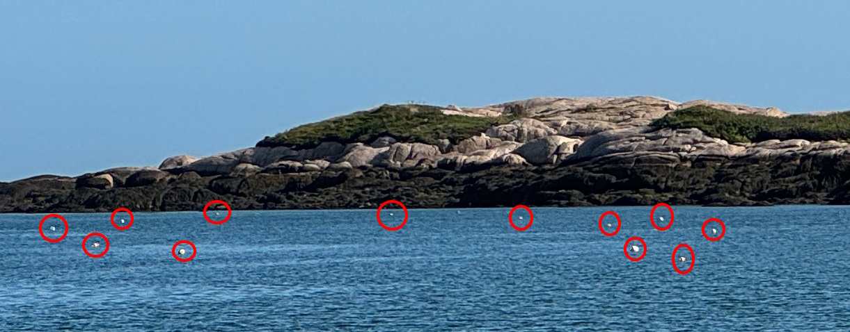
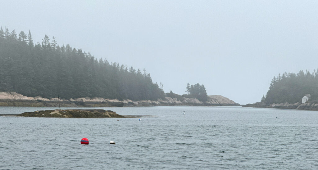
We dropped anchor in a cove off Mistake Island. The cruising guide had indicated that it was well protected and there was room for 5-6 boats. Sounded perfect, except for the name. As we wiggled our way past some shoals and into the anchorage area, we found it was clogged with lobster pot buoys! Hundreds of them!
Dodging the pots we were able to find one so-so spot to drop the anchor where we wouldn’t drift into a pot or onto a nearby rock shoal if the winds changed overnight. At low tide, the highest part of the shoal became a small island. It had a vertical metal pole embedded in it to indicate its location when the tide was in. Yup, welcome to Maine!
Dodging Pots
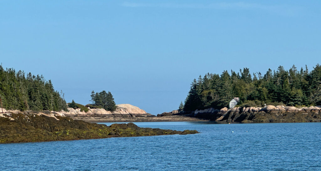
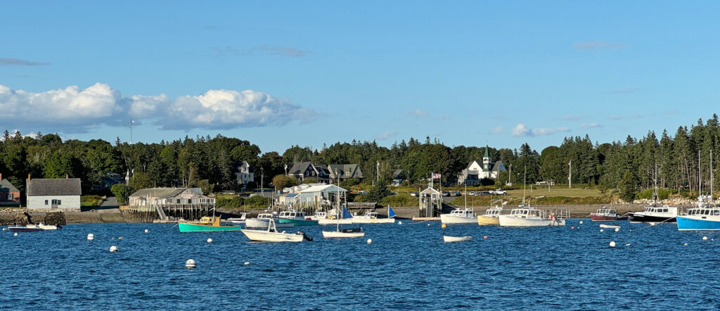
Our journey through Maine can be summed up in two words: dodging pots! From Mistake Island we continued south and picked up a mooring ball at Little Cranberry Island. Watching for lobster pots equals sailing in fog – both are taxing on the eyes and extremely tiring! We also learned that an early start was mandatory. Sailing in the late afternoon into anchorages generally to the south and west produced a glare from the lowering sun. Bouncing off the water, that glare made the pot bouys invisible.
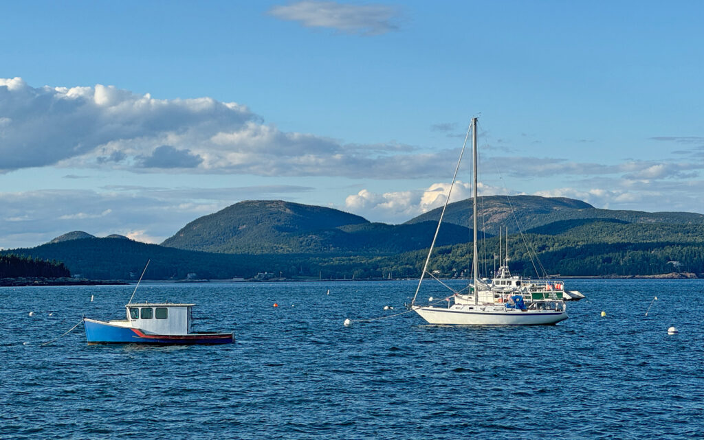
Little Cranberry is across from Mount Desert Island, home of Acadia National Park, which provided beautiful views from our boat. The area is also famous for Bar Harbor and the home to Hinckley Yachts – a very, high-end motor- and sailboat builder.
Destination Vinalhaven
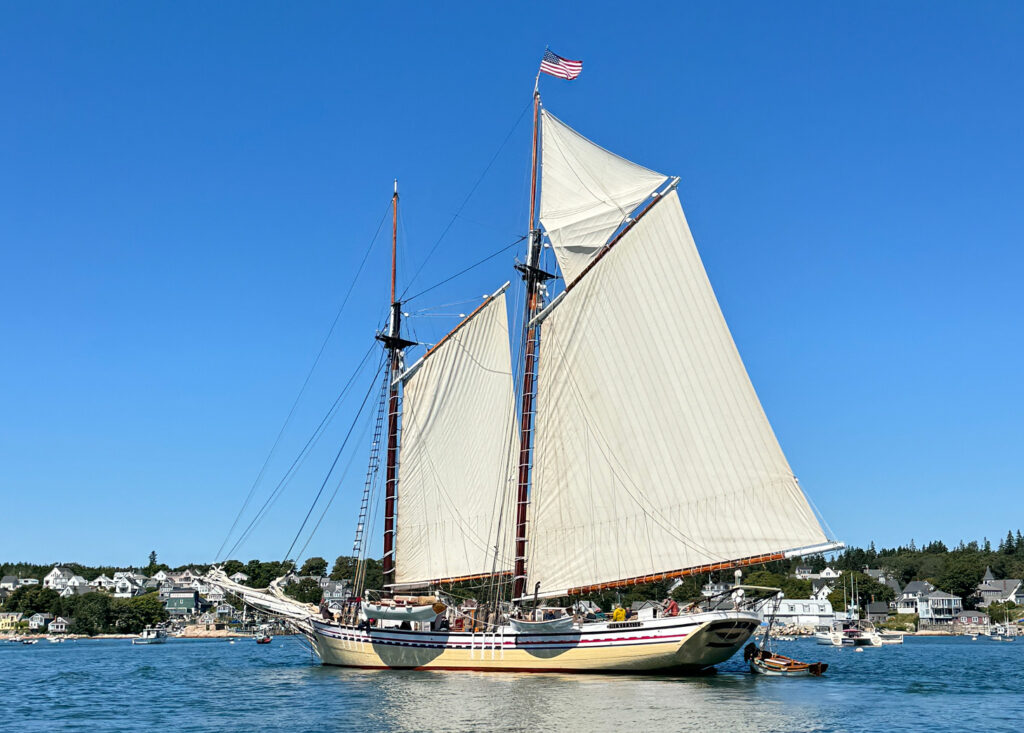
Our next stop was Crocket Cove on the island of Vinalhaven. Sailing friends Claudia and Doug, have a home on the cove and indicated we could either drop anchor or pick up one of their mooring balls. On our way there, we tried to get fuel at Stonington, only to be told they had no room for us at the fuel dock. We learned that many locations that have fuel won’t sell to anyone other than those involved in the fishing industry.
Consulting with Claudia in Vinalhaven, we learned that we could get fuel at a marina in North Haven. By the time we got there, we were running on our reserve tank!
More Friends!
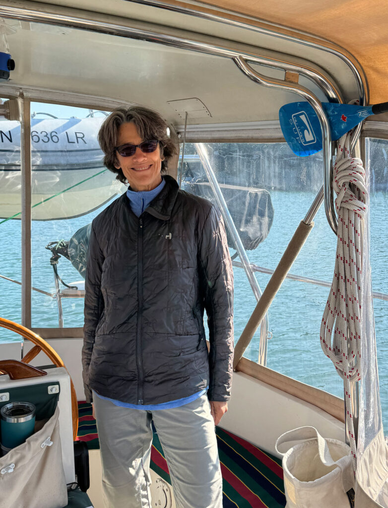
From the time we were headed to Cape Breton back in Nova Scotia, we had been trying to get Captain Sarah to join us for part of our trip. Sarah had been Captain on a number of the Women Who Sail trips that I had been on as well as a couple that we organized together. We could never get the dates/locations lined up. As we cruised south, I mentioned to Sarah that we would be arriving the next day in Vinalhaven. Next thing we knew, Sarah had found that she could bus and then ferry to the island from her home in Massachusetts.
We dropped anchor in Crocket Cove and then headed to “town” with Claudia to pick up Sarah at the ferry dock.
What ensued was a most enjoyable evening of sailors swapping tales of their sailing adventures and life living on an island. Both Claudia and Sarah have spent a good portion of their careers as professional sailors – bad ass sailors at that!
Damned Pots
The next morning, with Sarah on board, we headed out of Crocket Cove. Not far from the cove, we encountered a fishing trawler high up on a rock shoal. There were a couple of other boats around, so we continued on our way. Not long after, we started to hear extensive chatter on the VHF radio between various boats and the Coast Guard about a vessel on the rocks. And here we thought it had been there for quite some time!
Dodging pots was priority one for the day. We figured our prop was relatively safe protected by our large keel. We soon found out otherwise as I nailed a lobster pot bouy! Both Sarah and I had been watching but some pots are poorly marked. The one I hit barely had any paint left on it.
As soon as I heard the thwap-thwap noise, I throttled back to neutral. But not fast enough. Tried reverse and that spit out a few big chunks of Styrofoam.
Sarah to the Rescue
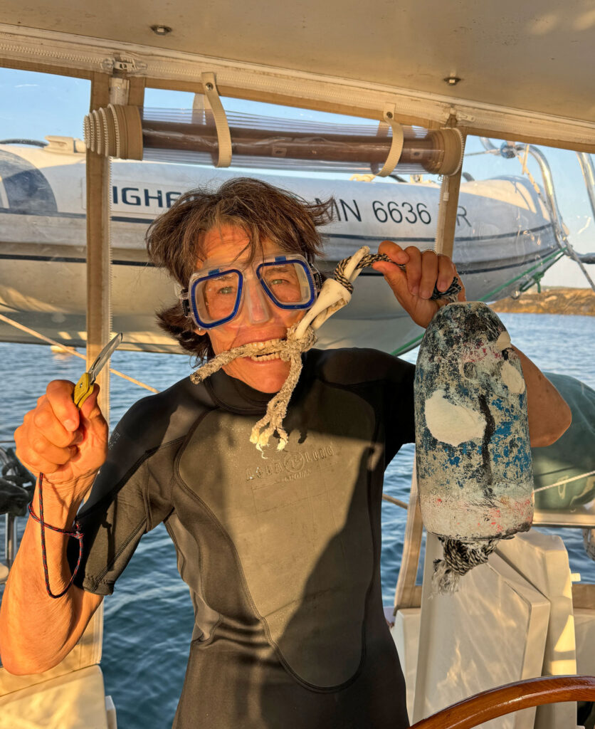
Captain Sarah happens to be part fish. She asked whether we had a snorkel and mask on board. Yes we did. I retrieved them and she immediately stated she was going to dive on the prop. I also had a shorty wetsuit, which she was more than happy to use. Maine waters are not known for their bath water temperatures.
With knife in hand, Sarah went overboard and after numerous dives came back with the wretched buoy in hand. Unfortunately, the sea was too rough to remove all the rope on the propeller shaft. We cautiously proceeded forward to Burnt Island, which was the next place we could safely tuck into out of the waves.
We picked up a mooring ball off a park, which may (or may not) have been marked for day use only. With limited light from the setting sun, Sarah went overboard a second time. After numerous dives she came back with about 12 feet of rope in bits and pieces from her cutting it off the shaft.
Sarah’s reward was a nice hot shower and some hot chocolate!
Richmond Island
From Burnt Island, we did a relatively short day to Richmond Island. Along the way, we saw seals and dolphins. Our friends, Regina and David on SV Vitae, had stopped there when they passed through the previous year, and it looked like a good place to anchor. We arrived early and Sarah and I took the dinghy ashore for a hike.
Arriving on land, we spotted posted signs indicating that hiking was permitted if we stayed on the designated paths. We were greeted by a flock of sheep, and then another flock, and then another. The sheep were doing an excellent job of keeping the pathways mowed, although it did mean that we needed to dodge the droppings.
We hiked around the island and found places where there were stone firepits and sitting areas. The entire perimeter has a hiking trail. We realized that it was getting a bit late, we’d already been exploring for over an hour. Taking a bit of a shortcut across a grass airfield, we came back to the dinghy to find it high and dry. The tide was going out and the water was now 10 feet away from the dinghy.
Slipping and sliding in the seaweed, while laughing our asses off, Sarah and I managed to get the dinghy floating without too much damage other than looking like penguins sliding on a slope!
Local Knowledge
The area we were sailing in is Sarah’s backyard. She shared places that we could stop, places to avoid, etc. One tidbit that she shared was the shortcut canal across Cape Ann that ended in Gloucester Harbor. It’s a very pretty canal with marshes on one side and homes along the other.
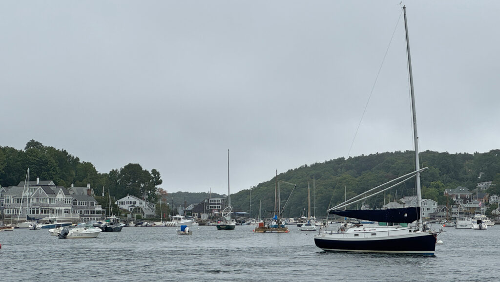
There are a couple of tricky spots, one being a lift bridge that was right around a corner. But the bridge tender had been watching our approach and with Sarah sharing her knowledge, the blind corner was easy to transit.
A bit further was another lift bridge, one that was very narrow. Would not want to tackle that one if the winds were strong from the opposite direction but it was completely calm when we went through.
On Our Own
We picked up a mooring ball in Gloucester Harbor and the next morning, we said our goodbyes to Captain Sarah. We stayed in Gloucester for three nights – time for re-provisioning, boat chores and a weather window to tackle the next big water.
August 25-September 6, 2024 986 Nautical Miles 42°36.691’N 070°39.371’W
For exact locations (latitude and longitude) for each stop, please visit our Map Page or our MapShare.

Great stuff! Every year we turn our blog into coffee table books (which if done right takes way more work than expected), and just worked through one of your comments from 2023. Very nice! Which finally led us to check you out. Extra very nice! The other odd thing is that this very morning a nice lady at our pickleball court was talking about house sitting around the world. Then we see that you do the same. Crazy. Anyway, safe travels and happy house sitting.
Thank you for the kind words – it is a small world isn’t it!
Thanks for that great recap!! So fun hosting you here in the Cove!!