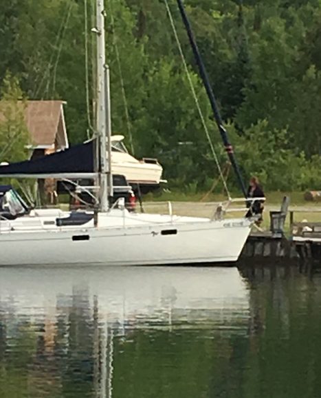
Lake Superior (aka Gitchee Gumee) has so much to offer and so many places to explore. It is wild, serene, breathtaking and awesome. And while we covered much of the Lake between this season and last, I know that there were still hundreds of beautiful anchorages that were beyond our reach and I understand why so many of our friends who left Lake Superior returned to her beauty.
But we are still on what I consider the front-end of our little adventure which included another run up the eastern shore of Lake Superior. This is the Canadian side, the truly wild side. Dan has already written about our visit to Old Dave’s Harbour and Michipicoten Island should post soon.
The New Anchor!
Indian Harbour was one anchorage that we went to last year and after three failed attempts to set our 35lb CQR anchor in a grassy bottom (CQR Anchor Solution), we decided that 2016 would be the year to get one of the newer styled anchors. As a not-so-scientific test of our new 55lb Mantus anchor, we returned to Indian Harbour this year.
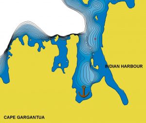
The anchorage is deep with a steep drop off around most of the bay – 10 feet off the shore, you find yourself in 18-20 feet of water. Five feet from shore, you’re in a skinny three feet. We circled around trying to find the perfect spot, like a dog getting ready to curl up on a rug. With a suitable spot found, we dropped the hook and proceeded with our normal anchoring routine which includes setting the hook. Now you don’t do a quick jerk back to set an anchor but rather back up steadily increasing the engine speed. And this is precisely what I did except when the chain when taut, the bow of the bow suddenly went down just like a fishing rod does when a fish strikes. Thought I was going to catapult Dan off the bow.
Lesson learned – back down very, very slowly wth our new anchor.
So how did our new anchor fare? Fabulously! The wind direction over the next two nights twirled us around 360 degrees and at one point held us secure in 30+ knot winds that arrived with a thunderstorm. Can you love an inanimate object like an anchor? Maybe not until we give it a name.
Hiking to Warp Bay
The cruising guides indicated there was a hiking trail starting in the next bay over so Thursday afternoon we took off in the dinghy to find the start of the trail. We searched and searched and could not find the trail head. We did find a small bridge and figured that had to part of the trail so we hauled the dinghy onto a very reedy shore and bashed our way through the underbrush to the bridge. It was, in fact, part of the trail.
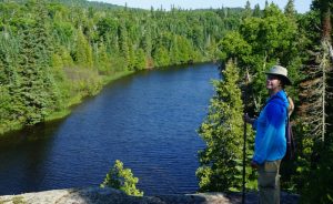
With Dan saying we should go one way, I proceeded off in the other direction trusting my navigational instincts given to me by my father. My sister, by the way, received none of those genes and gets hopelessly lost if you spin her in a circle. We set off on my chosen direction towards neighboring Warp Bay. With more than a few scrambles up and down some steep, rocky hills we found Warp Bay 3KM away.

We spent an hour on the white sand beach before heading back to the boat where we were greeted with a couple of loons. There was also a very shallow shoal and I thought that perhaps it might be warm enough on the rocks to take a little swim. Ha! No such luck – still flipping cold!
I should mention that while we were paddling back to the boat, we saw a white sign on shore stating “trail head”. So much for our observational skills.
Rafting – The Canadian Way
After a few nights in Indian Harbor we continued our trek south to Batchawana Bay. As we got closer and back in the land of communications, we texted our friends on Steele’n Time and targeted their favourite anchorage near Dick’s Island in Batchawana Bay. We arrived first and dropped our hook and set up our fenders so Steele’n Time could raft up to us.
I consider rafting up as a very Canadian tradition and a normal part of their boating experience.
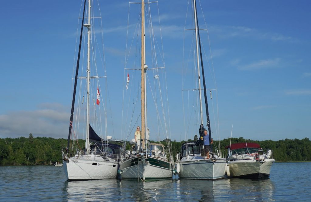
With our anchor down, Steele’n Time came up on our starboard side. Quickly followed by a sailboat named Lady Luck that rafted on our port side and then a power boat named Hydro Therapy that joined in. Four boats – one anchor! With light winds, we spent the night doing synchronized swimming as the boats drifted around our anchor all night long.
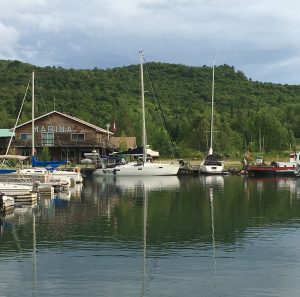
When we had been in the Gitchee Gumee Marina at the southeast end of Batchawana Bay a couple of weeks earlier, we had gone to Lori’s Restaurant three mornings in a row. Lori’s has a fabulous and ridiculously inexpensive breakfast (two eggs, two pieces of bacon, American fries, and toasted homemade bread for $5.50 Canadian!) – if you’re in the Soo, it’s worth the trip – the drive is very pretty and the breakfast is fabulous.
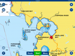
The other boats parted company heading in various directions. Steele’n Time headed over to the beaches on Batchawana. The island is shaped like an hour-glass and at the narrowest point there are beaches on either side with a short path connecting the two. Depending upon wind direction, you can be completely sheltered from the wind.
We caught up with Steele’n Time on the northside of the island and anchored in about 8’ of clear water. It helps to have insider knowledge as I managed to run us aground twice in this same anchorage the prior year – no harm, it was soft sand. We had been a bit further west and the shallow shelf extends further out.
Swimming in Lake Superior
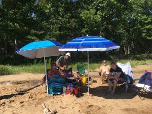
We spent the day lounging on the beach and swimming. I can actually say I went swimming in Lake Superior this summer – it was wonderfully refreshing after being in the sun all day.
As evening approached the raft-up was built up with our boat, Steele’n Time and a large power boat named Aye Candy. Dan had planned on making a lamb dinner and with a few additions, dinner was expanded for six and served on Aye Candy. It worked out quite well as we only had to clean up the dinner prep and they did all the post-dinner dishes. A very fair exchange!
Farewell Gitchee Gumee
With upcoming weather forecasts predicting the winds would be switching to the West/Northwest we packed up Gaviidae and headed for the Soo. As soon as we left the protection of Batchawana Bay, we got hit with some pretty good size swells and 20 knot winds on our nose. As we bashed along, I texted Dave with our status. His response? “Lake Superior is saying goodbye”.
I had been so focused on the moment, it had not registered until his text that we were officially leaving Lake Superior. Our home base for four years and our water access to our home state of Minnesota. It was a melancholy moment for me – not so much for Dan as he was sound asleep in the cockpit.
But the adventures of the wandering loon continue and forward we go. Farewell Gitchee Gumee.
July 19 – 21, 2016 Indian Harbour 47°36.399’N 85°01.047’W 550.7 Nautical Miles
July 22 – 23, 2016 Batchawana Bay 46°53.436’N 84°28.264’W 616.1 Nautical Miles

