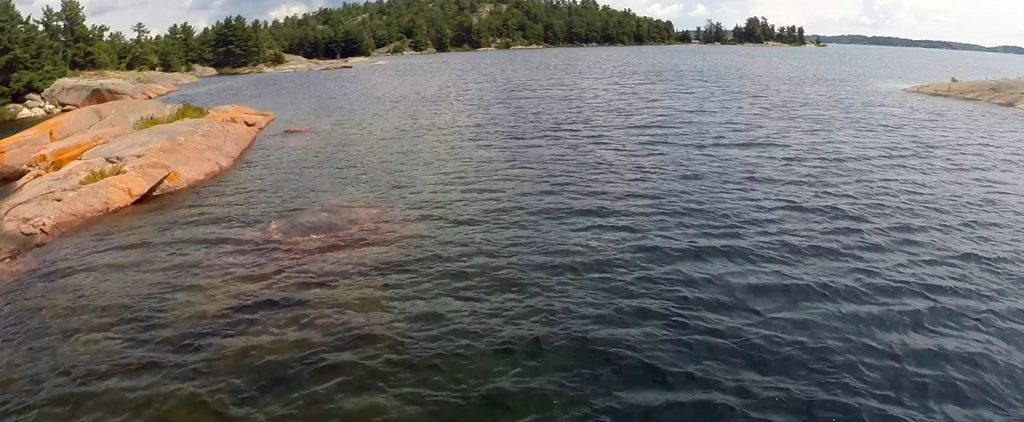
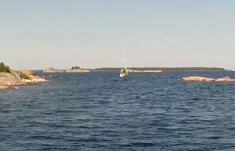
After a day of cleaning, relaxing and general decompressing at Croker Island, we weighed anchor at 9:30 Sunday morning and followed Jerry and Clare in Magic Carpet out of the bay and toward the Benjamin Islands. We were headed to Fox Island and the Benjamins were in the way. Fox lay to the northwest, and the cut between North Benjamin Island and South Benjamin Island was the shortest and fastest route to the popular harbor.

The Benjamins Cut is a narrow channel with plenty of depth for most keelboats. It does require some intricate maneuvering. Accessed only at a particular angle from the east due to shoals, the approach, entrance and navigation of the cut require a diligent bow watch and clear communication back to the helmsman. The channel is a literal obstacle course that requires some complicated choreography to keep the keel and hull off the boulders and rocks littering the channel and lining it on both sides.

Once through the narrowest part of the channel, the west end seemingly opens up, but shoals and submerged rocks require continuing diligence. Some four hundred yards out a large, long rock forces a right turn and another four hundred yards must be covered before reaching open water free of hidden hull piercers.
This wasn’t our first approach to the Benjamins cut.
A Step Back in Time
We considered taking the shortcut on our first visit to the North Channel back in 2005 when we were on our 22-foot Rhodes sailboat, Blue Loon. We had a copy of Jerry’s very detailed chart showing how to get through the cut and the trailerable Loon was only 8 feet wide and drew just 24 inches of water with the centerboard up. It should have been a piece of cake to navigate. Taking the cut would shave a several hours off our cruise that day from Croker to Spanish, Ontario, where our SUV and the boat trailer awaited us. As we approached the cut, we changed our minds. High southwest winds were driving waves into the narrows. The turbulence undermined any confidence we had that the long-shaft 10-horse Yamaha outboard mounted on our transom would keep us off the rocks and shoals.
Ten years later in our much larger, beamier and heavier Gozzard 37, we followed Jerry and Clare through the cut. That day was calm and sunny; the water was equally calm and clear. Julie was on the bowsprit keeping an eye out for obstacles as we slowly and carefully navigated the rocky obstacle course behind our friends. During that passage we laid down the track on our Navionics chart plotter. We still have that track.
Now, two years later, on an even bigger boat we were picking our way to and through the Benjamins Cut. It was another calm day. Julie was on the bowsprit feeding me information over my headset. I was at the helm trying to keep Jerry and Clare a boat length ahead of us. Trying to gauge distances and mimic turns is tricky in the ever-expanding wake of another boat—even in close quarters on calm water. With the first few maneuvers behind us, we safely passed the massive boulder to starboard and the granite point to port that stand as sentries at the eastern entrance of the cut.
Inside the narrows I slowed down. Jerry didn’t and was soon racing ahead. Like so many of other channels and bays in this area, Jerry knows the Benjamins cut like he knows the back of his hand. He doesn’t slow down going through that channel. I carefully followed the track on the chart and monitored the depth of the water to make we didn’t stray over a shoal. All the while I’m listening to Julie gasp over the headset at how close that rock seems, or how shallow the bottom looks. Unlike side mirrors, objects only APPEAR closer in depth-distorting clear water.

Until you hit something.
We didn’t.
Once we cleared the narrows and the outer shoals and obstacles to the west, we steered to starboard and sped up to close with Magic Carpet. By the time we turned north, he had a quarter of a mile on us.
Based on call-ins during the Cruisers’ Net that morning, we speculated that Fox Island’s intimate little harbor might be crowded. After a couple of exchanges on our VHF radios, Magic Carpet went ahead to scout the site while we steered tight circles in the narrow approach to the harbor. Jerry radioed that the Fox Island anchorage was full of boats. Full enough, anyway to discourage us from entering.
We reviewed our options and decided to head to Eagle Island, less than a mile to our west and another mile and a half into the anchorage. We dropped anchor a little before noon.
August 13 – 14, 2017 Eagle Island-North Channel Ontario 46°06.658’N 82°17.964’W 1402.8 Nautical Miles
##

Always enjoy your writing and photos. Best wishes for a great 2018.
Roy
Thanks Roy – there’s more coming, we’re not done with the North Channel yet!! Happy New Year!